Area Overview for SS11 7RJ
Photos of SS11 7RJ
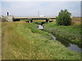
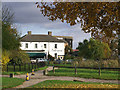
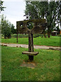
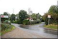
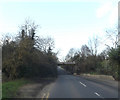
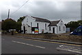
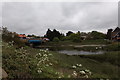
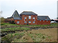
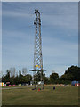
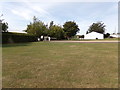
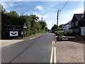
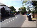
80 photos from this area
Area Information
Key information about the SS11 7RJ including its size, population, and administrative classification.
- Area Type
- Postcode
- Area Size
- 24.7 hectares
- Population
- 2193
- Population Density
- 190 people/km²
House Prices in SS11 7RJ
39
Properties
£237,500
Average Sold Price
£170,000
Lowest Price
£305,000
Highest Price
Showing 39 properties
| Address | Type | Beds | Baths | Last Sale Price | Last Sale Date | |
|---|---|---|---|---|---|---|
| Ashdale, Hawk Hill, Rettendon, Wickford, SS11 7RJ | Bungalow | - | - | £305,000 | Jan 2016 | |
| Pine View, Hawk Hill, Rettendon, Wickford, SS11 7RJ | Semi-detached | 3 | 1 | £170,000 | Nov 2014 | |
| 22, Mayphil Park, Hawk Hill, Rettendon, Wickford, SS11 7RJ | Bungalow | 2 | 2 | - | - | |
| 10, Mayphil Park, Hawk Hill, Rettendon, Wickford, SS11 7RJ | Mobile Home | 3 | 2 | - | - | |
| 12, Mayphil Park, Hawk Hill, Rettendon, Wickford, SS11 7RJ | Mobile Home | 2 | 2 | - | - | |
| 14, Mayphil Park, Hawk Hill, Rettendon, Wickford, SS11 7RJ | Mobile Home | 2 | 1 | - | - | |
| 2, Mayphil Park, Hawk Hill, Rettendon, Wickford, SS11 7RJ | Mobile Home | 2 | 2 | - | - | |
| 1, Mayphil Park, Hawk Hill, Rettendon, Wickford, SS11 7RJ | Mobile Home | 2 | 2 | - | - | |
| 11, Mayphil Park, Hawk Hill, Rettendon, Wickford, SS11 7RJ | Mobile Home | 2 | 2 | - | - | |
| 17, Mayphil Park, Hawk Hill, Rettendon, Wickford, SS11 7RJ | Mobile Home | 2 | 2 | - | - |
Page 1 of 4
Energy Efficiency in SS11 7RJ
Amenities
Schools
| Rank | School | Type | Entry gender | Ages |
|---|
Explore more schools in this area
Go to Schools tabDemographics
Household Size
Family (3-5 people)
most common
Accommodation Type
Houses
most common
Tenure
80
majority
Ethnic Group
White
most common
Religion
N/A
most common
Household Composition
N/A
most common
Age
47
median
Adults (30-64 years)
most common
Household Deprivation
N/A
with no deprivation
NS-SEC
40
in Lower managerial occupations
Explore more demographic insights in this area
Go to Demographics tabPlanning
Planning Constraints
- Flood RiskPremium
- Ramsar Wetland SitesPremium
- Area of Outstanding Natural BeautyPremium
- Protected Nature ReservePremium
- Protected WoodlandPremium