Area Overview for SS11 7NS
Photos of SS11 7NS
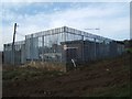
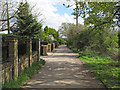
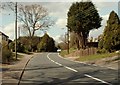
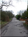
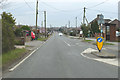
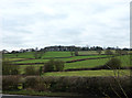
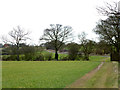
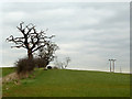
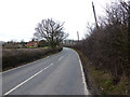
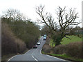
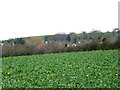
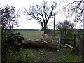
16 photos from this area
Area Information
Key information about the SS11 7NS including its size, population, and administrative classification.
- Area Type
- Postcode
- Area Size
- 2.9 hectares
- Population
- 1837
- Population Density
- 340 people/km²
House Prices in SS11 7NS
31
Properties
£344,176
Average Sold Price
£75,000
Lowest Price
£680,000
Highest Price
Showing 31 properties
| Address | Type | Beds | Baths | Last Sale Price | Last Sale Date | |
|---|---|---|---|---|---|---|
| 73 Brock Hill, Runwell, Wickford, SS11 7NS | Semi-detached | 2 | - | £445,000 | Nov 2023 | |
| 75 Brock Hill, Runwell, Wickford, SS11 7NS | Bungalow | 3 | 1 | £395,000 | Apr 2022 | |
| 63 Brock Hill, Runwell, Wickford, SS11 7NS | Detached | 4 | 4 | £665,000 | Mar 2021 | |
| 65A Brock Hill, Runwell, Wickford, SS11 7NS | house | - | - | £680,000 | Dec 2020 | |
| 63A Brock Hill, Runwell, Wickford, SS11 7NS | Semi-detached | 3 | 3 | £525,000 | Nov 2020 | |
| 65 Brock Hill, Runwell, Wickford, SS11 7NS | house | - | - | £535,000 | Oct 2020 | |
| 81 Brock Hill, Runwell, Wickford, SS11 7NS | house | - | - | £470,000 | Jan 2018 | |
| 67A Brock Hill, Runwell, Wickford, SS11 7NS | Bungalow | - | - | £443,000 | Jul 2017 | |
| 77 Brock Hill, Runwell, Wickford, SS11 7NS | Semi-detached | - | - | £269,995 | Jul 2011 | |
| 67 Brock Hill, Runwell, Wickford, SS11 7NS | Bungalow | - | - | £345,000 | Jul 2011 |
Page 1 of 4
Energy Efficiency in SS11 7NS
Amenities
Schools
| Rank | School | Type | Entry gender | Ages |
|---|
Explore more schools in this area
Go to Schools tabDemographics
Household Size
Two person
most common
Accommodation Type
Houses
most common
Tenure
90
majority
Ethnic Group
White
most common
Religion
N/A
most common
Household Composition
N/A
most common
Age
47
median
Adults (30-64 years)
most common
Household Deprivation
N/A
with no deprivation
NS-SEC
35
in Lower managerial occupations
Explore more demographic insights in this area
Go to Demographics tabPlanning
Planning Constraints
- Flood RiskPremium
- Ramsar Wetland SitesPremium
- Area of Outstanding Natural BeautyPremium
- Protected Nature ReservePremium
- Protected WoodlandPremium