Area Overview for SS11 7LS
Photos of SS11 7LS
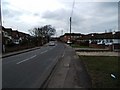
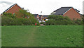
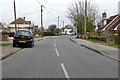
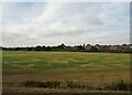
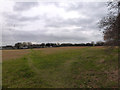
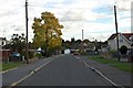
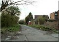
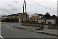
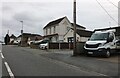
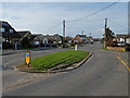
10 photos from this area
Area Information
Key information about the SS11 7LS including its size, population, and administrative classification.
- Area Type
- Postcode
- Area Size
- 1.3 hectares
- Population
- 1837
- Population Density
- 340 people/km²
House Prices in SS11 7LS
18
Properties
£229,895
Average Sold Price
£78,500
Lowest Price
£435,000
Highest Price
Showing 18 properties
| Address | Type | Beds | Baths | Last Sale Price | Last Sale Date | |
|---|---|---|---|---|---|---|
| 63 Waverley Crescent, Runwell, Wickford, SS11 7LS | Bungalow | - | - | £435,000 | Jan 2023 | |
| 88 Waverley Crescent, Runwell, Wickford, SS11 7LS | house | - | - | £360,000 | Jun 2021 | |
| 69 Waverley Crescent, Runwell, Wickford, SS11 7LS | Detached | - | - | £360,000 | Dec 2014 | |
| 96 Waverley Crescent, Runwell, Wickford, SS11 7LS | house | 4 | - | £250,000 | Apr 2012 | |
| 78 Waverley Crescent, Runwell, Wickford, SS11 7LS | Semi-detached | - | - | £267,500 | Mar 2008 | |
| 84 Waverley Crescent, Runwell, Wickford, SS11 7LS | Semi-detached | - | - | £206,000 | Feb 2006 | |
| 82 Waverley Crescent, Runwell, Wickford, SS11 7LS | Semi-detached | - | - | £148,500 | Aug 2001 | |
| 90 Waverley Crescent, Runwell, Wickford, SS11 7LS | Terraced | - | - | £79,950 | Jun 1999 | |
| 71 Waverley Crescent, Runwell, Wickford, SS11 7LS | Detached | 4 | - | £113,500 | Nov 1998 | |
| 98 Waverley Crescent, Runwell, Wickford, SS11 7LS | Semi-detached | - | - | £78,500 | Aug 1995 |
Page 1 of 2
Energy Efficiency in SS11 7LS
Amenities
Schools
| Rank | School | Type | Entry gender | Ages |
|---|
Explore more schools in this area
Go to Schools tabDemographics
Household Size
Two person
most common
Accommodation Type
Houses
most common
Tenure
90
majority
Ethnic Group
White
most common
Religion
N/A
most common
Household Composition
N/A
most common
Age
47
median
Adults (30-64 years)
most common
Household Deprivation
N/A
with no deprivation
NS-SEC
35
in Lower managerial occupations
Explore more demographic insights in this area
Go to Demographics tabPlanning
Planning Constraints
- Flood RiskPremium
- Ramsar Wetland SitesPremium
- Area of Outstanding Natural BeautyPremium
- Protected Nature ReservePremium
- Protected WoodlandPremium