Area Overview for SS11 7DG
Photos of SS11 7DG
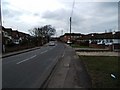
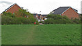
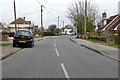
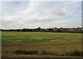
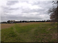
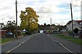
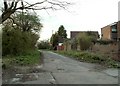
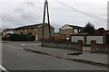
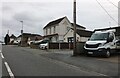
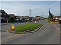
10 photos from this area
Area Information
Key information about the SS11 7DG including its size, population, and administrative classification.
- Area Type
- Postcode
- Area Size
- 1.2 hectares
- Population
- 2132
- Population Density
- 2680 people/km²
House Prices in SS11 7DG
29
Properties
£272,500
Average Sold Price
£44,000
Lowest Price
£670,000
Highest Price
Showing 29 properties
| Address | Type | Beds | Baths | Last Sale Price | Last Sale Date | |
|---|---|---|---|---|---|---|
| 151 Swan Lane, Wickford, SS11 7DG | Bungalow | 3 | 2 | £540,000 | May 2024 | |
| 175 Swan Lane, Wickford, SS11 7DG | Terraced | 2 | 1 | £300,000 | Apr 2024 | |
| 177 Swan Lane, Wickford, SS11 7DG | Terraced | 2 | 1 | £350,000 | Feb 2023 | |
| 169 Swan Lane, Wickford, SS11 7DG | Detached | 4 | 2 | £455,000 | Jun 2022 | |
| 161 Swan Lane, Wickford, SS11 7DG | Bungalow | 2 | - | £195,000 | Mar 2020 | |
| 157 Swan Lane, Wickford, SS11 7DG | Bungalow | 2 | 1 | £240,000 | Nov 2019 | |
| 131 Swan Lane, Wickford, SS11 7DG | Detached | 4 | 3 | £670,000 | Sep 2019 | |
| 155 Swan Lane, Wickford, SS11 7DG | house | - | - | £555,000 | Oct 2017 | |
| 143 Swan Lane, Wickford, SS11 7DG | Bungalow | 4 | - | £318,000 | Aug 2015 | |
| 165 Swan Lane, Wickford, SS11 7DG | Semi-detached | 2 | 1 | £161,000 | Jul 2013 |
Page 1 of 3
Energy Efficiency in SS11 7DG
Amenities
Schools
| Rank | School | Type | Entry gender | Ages |
|---|
Explore more schools in this area
Go to Schools tabDemographics
Household Size
Family (3-5 people)
most common
Accommodation Type
Houses
most common
Tenure
69
majority
Ethnic Group
White
most common
Religion
N/A
most common
Household Composition
N/A
most common
Age
47
median
Adults (30-64 years)
most common
Household Deprivation
N/A
with no deprivation
NS-SEC
33
in Lower managerial occupations
Explore more demographic insights in this area
Go to Demographics tabPlanning
Planning Constraints
- Flood RiskPremium
- Ramsar Wetland SitesPremium
- Area of Outstanding Natural BeautyPremium
- Protected Nature ReservePremium
- Protected WoodlandPremium