Area Overview for SS0 8LF
Photos of SS0 8LF

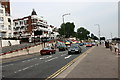
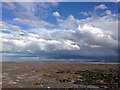
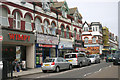
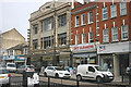
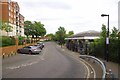
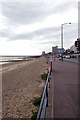
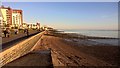
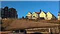
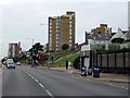
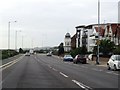
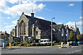
60 photos from this area
Area Information
Key information about the SS0 8LF including its size, population, and administrative classification.
- Area Type
- Postcode
- Area Size
- 1.3 hectares
- Population
- 1616
- Population Density
- 4480 people/km²
House Prices in SS0 8LF
17
Properties
£590,750
Average Sold Price
£140,000
Lowest Price
£1,325,000
Highest Price
Showing 17 properties
| Address | Type | Beds | Baths | Last Sale Price | Last Sale Date | |
|---|---|---|---|---|---|---|
| 35 Crosby Road, Westcliff On Sea, SS0 8LF | Detached | 5 | 3 | £1,325,000 | Dec 2023 | |
| 11 Crosby Road, Westcliff On Sea, SS0 8LF | Semi-detached | 4 | 2 | £660,000 | Jul 2023 | |
| 45 Crosby Road, Westcliff On Sea, SS0 8LF | Detached | 6 | 3 | £875,000 | Apr 2021 | |
| 47 Crosby Road, Westcliff On Sea, SS0 8LF | house | - | - | £675,000 | Jun 2014 | |
| 15 Crosby Road, Westcliff On Sea, SS0 8LF | Detached | - | - | £660,000 | Jun 2014 | |
| 39 Crosby Road, Westcliff On Sea, SS0 8LF | Detached | 4 | 3 | £595,000 | Apr 2011 | |
| 3 Crosby Road, Westcliff On Sea, SS0 8LF | house | - | - | £615,000 | Aug 2010 | |
| 43 Crosby Road, Westcliff On Sea, SS0 8LF | Detached | - | - | £485,000 | Dec 2007 | |
| 33 Crosby Road, Westcliff On Sea, SS0 8LF | Detached | - | - | £570,000 | Sep 2006 | |
| 37 Crosby Road, Westcliff On Sea, SS0 8LF | Detached | - | - | £310,000 | May 2002 |
Page 1 of 2
Energy Efficiency in SS0 8LF
Amenities
Schools
| Rank | School | Type | Entry gender | Ages |
|---|
Explore more schools in this area
Go to Schools tabDemographics
Household Size
One person
most common
Accommodation Type
Flats
most common
Tenure
65
majority
Ethnic Group
White
most common
Religion
N/A
most common
Household Composition
N/A
most common
Age
47
median
Adults (30-64 years)
most common
Household Deprivation
N/A
with no deprivation
NS-SEC
38
in Lower managerial occupations
Explore more demographic insights in this area
Go to Demographics tabPlanning
Planning Constraints
- Flood RiskPremium
- Ramsar Wetland SitesPremium
- Area of Outstanding Natural BeautyPremium
- Protected Nature ReservePremium
- Protected WoodlandPremium