Area Overview for SS0 8DB
Photos of SS0 8DB
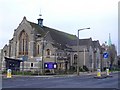
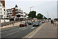
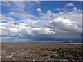
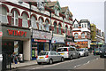
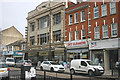
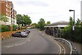
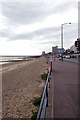
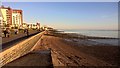
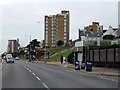
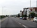
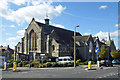
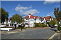
60 photos from this area
Area Information
Key information about the SS0 8DB including its size, population, and administrative classification.
- Area Type
- Postcode
- Area Size
- 5206 m²
- Population
- 1729
- Population Density
- 9971 people/km²
House Prices in SS0 8DB
35
Properties
£145,562
Average Sold Price
£38,000
Lowest Price
£405,000
Highest Price
Showing 35 properties
| Address | Type | Beds | Baths | Last Sale Price | Last Sale Date | |
|---|---|---|---|---|---|---|
| 1C Genesta Road, Westcliff On Sea, SS0 8DB | Flat | 2 | 1 | £210,000 | Oct 2022 | |
| LOWER FRONT, 60 GENESTA ROAD, Westcliff-on-Sea, SS0 8DB | Flat | - | - | £130,000 | Oct 2022 | |
| 1B Genesta Road, Westcliff On Sea, SS0 8DB | Flat | 1 | 1 | £128,000 | Jul 2021 | |
| 56 Genesta Road, Westcliff On Sea, SS0 8DB | Flat | - | - | £265,000 | Feb 2021 | |
| 46 Genesta Road, Westcliff On Sea, SS0 8DB | Semi-detached | 3 | 1 | £405,000 | Aug 2020 | |
| 50A Genesta Road, Westcliff On Sea, SS0 8DB | Flat | 3 | 1 | £225,000 | Oct 2018 | |
| 48A Genesta Road, Westcliff On Sea, SS0 8DB | Flat | - | - | £165,000 | Feb 2014 | |
| 58 Genesta Road, Westcliff On Sea, SS0 8DB | Flat | - | - | £125,000 | Dec 2013 | |
| 46A Genesta Road, Westcliff On Sea, SS0 8DB | Semi-detached | 2 | 1 | £150,000 | Oct 2013 | |
| 54A Genesta Road, Westcliff On Sea, SS0 8DB | Flat | 3 | 1 | £110,000 | Mar 2011 |
Page 1 of 4
Energy Efficiency in SS0 8DB
Amenities
Schools
| Rank | School | Type | Entry gender | Ages |
|---|
Explore more schools in this area
Go to Schools tabDemographics
Household Size
One person
most common
Accommodation Type
Flats
most common
Tenure
44
majority
Ethnic Group
White
most common
Religion
N/A
most common
Household Composition
N/A
most common
Age
47
median
Adults (30-64 years)
most common
Household Deprivation
N/A
with no deprivation
NS-SEC
36
in Lower managerial occupations
Explore more demographic insights in this area
Go to Demographics tabPlanning
Planning Constraints
- Flood RiskPremium
- Ramsar Wetland SitesPremium
- Area of Outstanding Natural BeautyPremium
- Protected Nature ReservePremium
- Protected WoodlandPremium