Area Overview for Sprowston Central Ward
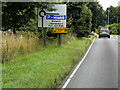
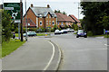
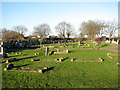
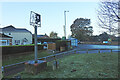
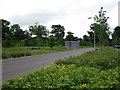
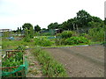
Photos of Sprowston Central Ward


Area Information
Living in Sprowston Central Ward offers a specific experience defined by its compact size and established character. This district borders Norfolk and covers 3.2 km² within the Broadsland wards. The area primarily hosts older residents, with a median age of 70 years. This demographic profile suggests a quieter neighbourhood suitable for retirees or those seeking a peaceful setting away from city centre crowds. Daily life here revolves around local services and community connections rather than high-speed urban development. You might find yourselves walking to nearby shops or relying on local transport links, as the area does not support large-scale nightlife venues. The environment remains stable with low flood risks and no protected wetlands or nature reserves covering the zone. Despite its modest footprint, the ward functions as a self-contained community where residents value stability over rapid change. Homes here are generally occupied by long-term homeowners rather than transient tenants. If you are considering Sprowston Central Ward, you are looking at a district shaped by tradition and settled patterns of living. The surrounding Alamein Street estate influences the local landscape, offering a mix of older properties within a fixed geographical boundary.
- Area Type
- District Borough Unitary Ward
- Area Size
- 3.2 km²
- Population
- Not available
- Population Density
- Not available
Demographics
The community in Sprowston Central Ward is overwhelmingly dominated by older residents. With a median age of 70, the population skew is clear and consistent. Most households likely consist of couples or individuals who have lived in their homes for decades. Home ownership stands at 75 per cent, indicating strong resident attachment to the locality. This high ownership rate contrasts sharply with rental-heavy zones found elsewhere in the London Borough of Barking and Dagenham. Accommodation types reflect this history, favouring established housing stock over new builds. You will find families with children less common than in other boroughs, though schools near Sprowston Central Ward remain accessible for any younger residents. The area lacks significant ethnic diversity data in the provided records, suggesting a homogenous population. Economic deprivation is not highlighted as a specific issue within the current figures, allowing quality of life to focus on local amenities. The low crime risk score of 80 out of 100 reinforces the appeal for those prioritising security. Residents understand the local dynamic well, creating a shared sense of history across the ward.
Household Size
Accommodation Type
Tenure
Ethnic Group
Religion
Household Composition
Age
Household Deprivation
NS-SEC
Explore more demographic insights in this area
Go to Demographics tabPlanning
Planning Constraints
- Flood RiskPremium
- Ramsar Wetland SitesPremium
- Area of Outstanding Natural BeautyPremium
- Protected Nature ReservePremium
- Protected WoodlandPremium
- Crime RiskPremium