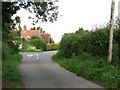
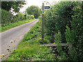
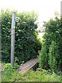
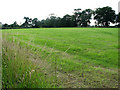
Area Overview for Spexhall
Photos of Spexhall

Area Information
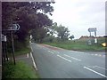
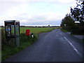
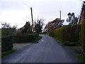
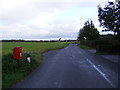
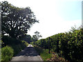
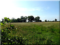
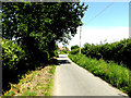
Spexhall is a civil parish located in England with a total land area of 7.8 square kilometres. Homes in Spexhall offer residents a defined rural setting within the county structure. This community operates as a self-contained unit for daily living, providing a straightforward environment for families or older residents seeking a specific lifestyle. The location is compact enough to cover easily while remaining distinct as a local entity within the wider region. You can anticipate a pace of life dictated by the physical boundaries of the parish, which measure just under eight square kilometres in total. The area functions independently as a recognised jurisdiction rather than a massive urban sprawl. Living in Spexhall means engaging with a settled environment where the physical size imposes a natural limit on density. The parish classification suggests a historic administrative border that likely influences local governance and community identity. You are looking at a space that is modest in scale, which often translates to quicker access to local amenities without the congestion found in larger settlements. The 7.8 km² footprint defines your horizon, ensuring that the community remains manageable for those who prefer a contained geographical area. This specific size allows for a clear understanding of the neighbourhood layout without the complexity of a larger county constituency.
- Area Type
- Parish
- Area Size
- 7.8 km²
- Population
- Not available
- Population Density
- Not available
Demographics
Life in Spexhall reveals a distinctly older population profile, with a median age of 70 years. This statistic highlights that the most common age demographic consists of older adults rather than young families or working-age professionals. Home ownership stands at an impressive 74% of local households, indicating a community built on long-term residency rather than short-term renting. Such a high ownership rate suggests that many residents have stayed in Spexhall for decades, creating deep roots within the parish. The household composition data points towards established families or empty-nester households rather than transient lifestyles typical of student parts of town. You will find that the social fabric reflects this older median age, with neighbours likely knowing each other through years of shared living. The accommodation types available support this elderly demographic, though the specific breakdown of flat versus house occupancy is not detailed in the current records. The racial and religious diversity figures are not explicitly listed in the statistical summary provided, so the area presents a general picture without specific minority group percentages available for immediate verification. Seven out of every ten homeowners hold the title deed to their property, creating a stable voting bloc and a community focused on permanence. This ownership concentration means property decisions often reflect the long-term planning of residents over multiple generations.
Household Size
Accommodation Type
Tenure
Ethnic Group
Religion
Household Composition
Age
Household Deprivation
NS-SEC
Explore more demographic insights in this area
Go to Demographics tabPlanning
Planning Constraints
- Flood RiskPremium
- Ramsar Wetland SitesPremium
- Area of Outstanding Natural BeautyPremium
- Protected Nature ReservePremium
- Protected WoodlandPremium