Area Overview for Shropham
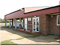
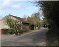
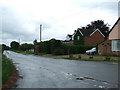
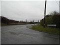
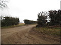
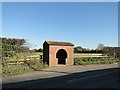
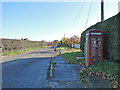
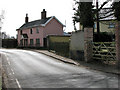
Photos of Shropham
Area Information
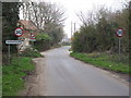
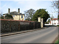
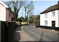
Living in Shropham means inhabiting a compact, built-up area of 30.2 hectares, nestled in England. Its small size creates a tightly knit community, where daily life is shaped by proximity to essential services and transport links. The area’s median age of 70 suggests a demographic skewed towards older residents, which influences the local character and pace of life. While Shropham itself is modest in size, its strategic location near Attleborough and surrounding towns opens access to broader amenities. The presence of three railway stations—Eccles Road, Harling Road, and Attleborough—offers straightforward connections to nearby cities, while nearby supermarkets such as Asda Snetterton and Sainsburys Attleborough ensure everyday shopping needs are met. For those prioritising convenience, the balance of residential space and accessible infrastructure makes Shropham a practical choice for those seeking a quieter, well-connected lifestyle.
- Area Type
- Built Up Area 250
- Area Size
- 30.2 hectares
- Population
- Not available
- Population Density
- Not available
The lifestyle in Shropham is shaped by its proximity to essential amenities. Within practical reach are major retailers such as Asda Snetterton, Sainsburys Attleborough, and Lidl Attleborough, ensuring daily shopping needs are met without the need for long journeys. The three railway stations—Eccles Road, Harling Road, and Attleborough—offer convenient travel options, whether for commuting or weekend excursions. While the area itself is small, its connectivity to nearby towns enriches the lifestyle options available. The presence of these amenities fosters a practical, low-stress environment, where residents can access both local conveniences and broader opportunities. The balance of retail and transport infrastructure makes Shropham suitable for those valuing accessibility without sacrificing the quietude of a smaller community.
Amenities
Schools
| Rank | School | Type | Entry gender | Ages |
|---|
Explore more schools in this area
Go to Schools tabDemographics
Shropham’s population is defined by its median age of 70, the highest in the dataset, indicating a community predominantly composed of older residents. This age profile shapes the area’s dynamics, with household composition and accommodation types reflecting the needs of an ageing population. Home ownership is high, with 77% of residents owning their homes, suggesting a stable, long-term presence in the area. The data does not specify the breakdown of household types or ethnic diversity, but the overall figures imply a relatively uniform demographic. The absence of detailed information on deprivation or religious composition means the area’s social fabric remains partially opaque. However, the high home ownership rate and older age group suggest a community prioritising stability over rapid change, with implications for local services and housing demand.
Household Size
Accommodation Type
Tenure
Ethnic Group
Religion
Household Composition
Age
Household Deprivation
NS-SEC
Explore more demographic insights in this area
Go to Demographics tabPlanning
Planning Constraints
- Crime RiskPremium