Area Overview for SG9 9EA
Photos of SG9 9EA
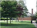
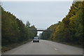

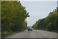
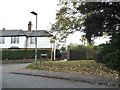
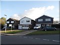
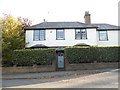
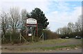
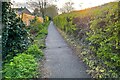
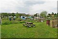
20 photos from this area
Area Information
Key information about the SG9 9EA including its size, population, and administrative classification.
- Area Type
- Postcode
- Area Size
- 9301 m²
- Population
- 1116
- Population Density
- 3215 people/km²
House Prices in SG9 9EA
30
Properties
£231,832
Average Sold Price
£62,000
Lowest Price
£445,000
Highest Price
Showing 30 properties
| Address | Type | Beds | Baths | Last Sale Price | Last Sale Date | |
|---|---|---|---|---|---|---|
| 337 Monks Walk, Buntingford, SG9 9EA | Terraced | 3 | 1 | £280,000 | Jan 2025 | |
| 313 Monks Walk, Buntingford, SG9 9EA | Detached | 3 | 1 | £335,000 | Sep 2024 | |
| 303 Monks Walk, Buntingford, SG9 9EA | Terraced | 3 | 1 | £315,000 | May 2024 | |
| 349 Monks Walk, Buntingford, SG9 9EA | Terraced | 3 | 1 | £362,000 | Feb 2024 | |
| 323 Monks Walk, Buntingford, SG9 9EA | Terraced | 5 | - | £445,000 | Nov 2021 | |
| 291 Monks Walk, Buntingford, SG9 9EA | house | - | - | £375,000 | Sep 2021 | |
| 315 Monks Walk, Buntingford, SG9 9EA | Terraced | 3 | 1 | £310,000 | Apr 2021 | |
| 345 Monks Walk, Buntingford, SG9 9EA | house | - | - | £274,000 | Apr 2020 | |
| 319 Monks Walk, Buntingford, SG9 9EA | Terraced | 3 | 1 | £290,000 | Nov 2019 | |
| 331 Monks Walk, Buntingford, SG9 9EA | house | 3 | 1 | £277,000 | Oct 2019 |
Page 1 of 3
Energy Efficiency in SG9 9EA
Amenities
Schools
| Rank | School | Type | Entry gender | Ages |
|---|
Explore more schools in this area
Go to Schools tabDemographics
Household Size
Family (3-5 people)
most common
Accommodation Type
Houses
most common
Tenure
90
majority
Ethnic Group
White
most common
Religion
N/A
most common
Household Composition
N/A
most common
Age
47
median
Adults (30-64 years)
most common
Household Deprivation
N/A
with no deprivation
NS-SEC
41
in Lower managerial occupations
Explore more demographic insights in this area
Go to Demographics tabPlanning
Planning Constraints
- Flood RiskPremium
- Ramsar Wetland SitesPremium
- Area of Outstanding Natural BeautyPremium
- Protected Nature ReservePremium
- Protected WoodlandPremium