Area Overview for SG9 0AU
Photos of SG9 0AU
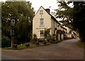
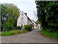
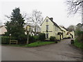
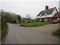
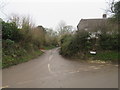
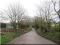
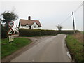
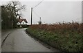
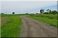
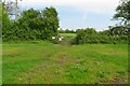
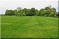
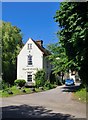
15 photos from this area
Area Information
Key information about the SG9 0AU including its size, population, and administrative classification.
- Area Type
- Postcode
- Area Size
- 1.0 km²
- Population
- 1387
- Population Density
- 43 people/km²
House Prices in SG9 0AU
3
Properties
-
Average Sold Price
-
Lowest Price
-
Highest Price
Showing 3 properties
| Address | Type | Beds | Baths | Last Sale Price | Last Sale Date | |
|---|---|---|---|---|---|---|
| Black Hall, Classified Road C 10 North From B 1038 To Mill Lane, Brent Pelham, SG9 0AU | Cottage | 4 | - | - | - | |
| Westley Farm, Classified Road C 10 North From B 1038 To Mill Lane, Brent Pelham, SG9 0AU | Detached | - | - | - | - | |
| The Bury Barn, Classified Road C 10 North From B 1038 To Mill Lane, Brent Pelham, SG9 0AU | Detached | - | - | - | - |
Energy Efficiency in SG9 0AU
Amenities
Schools
| Rank | School | Type | Entry gender | Ages |
|---|
Explore more schools in this area
Go to Schools tabDemographics
Household Size
Two person
most common
Accommodation Type
Houses
most common
Tenure
74
majority
Ethnic Group
White
most common
Religion
N/A
most common
Household Composition
N/A
most common
Age
47
median
Adults (30-64 years)
most common
Household Deprivation
N/A
with no deprivation
NS-SEC
41
in Lower managerial occupations
Explore more demographic insights in this area
Go to Demographics tabPlanning
Planning Constraints
- Flood RiskPremium
- Ramsar Wetland SitesPremium
- Area of Outstanding Natural BeautyPremium
- Protected Nature ReservePremium
- Protected WoodlandPremium