Area Overview for SG8 8PW
Photos of SG8 8PW
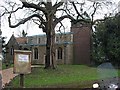
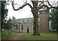
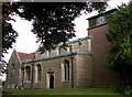
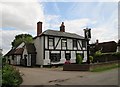
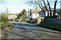
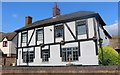
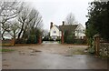
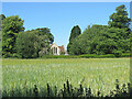
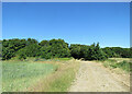
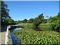
44 photos from this area
Area Information
Key information about the SG8 8PW including its size, population, and administrative classification.
- Area Type
- Postcode
- Area Size
- 65.0 hectares
- Population
- 1970
- Population Density
- 53 people/km²
House Prices in SG8 8PW
14
Properties
£708,565
Average Sold Price
£218,000
Lowest Price
£1,250,000
Highest Price
Showing 14 properties
| Address | Type | Beds | Baths | Last Sale Price | Last Sale Date | |
|---|---|---|---|---|---|---|
| 25 Chishill Road, Heydon, SG8 8PW | house | - | - | £462,655 | Jun 2021 | |
| Stable Cottage, 18 Chishill Road, Heydon, SG8 8PW | house | - | - | £670,000 | Oct 2020 | |
| Flint House, 16 Chishill Road, Heydon, SG8 8PW | Detached | 4 | 5 | £1,250,000 | Dec 2017 | |
| 2 Chishill Road, Heydon, SG8 8PW | Detached | - | - | £855,000 | Jul 2006 | |
| 22 Chishill Road, Heydon, SG8 8PW | Detached | - | - | £1,159,300 | Oct 2003 | |
| 23 Chishill Road, Heydon, SG8 8PW | Semi-detached | 4 | 2 | £218,000 | Jan 1999 | |
| 6 Chishill Road, Heydon, SG8 8PW | Detached | - | - | £345,000 | May 1998 | |
| 20 Chishill Road, Heydon, SG8 8PW | Detached | 6 | 4 | - | - | |
| Annexe, 15 Chishill Road, Heydon, SG8 8PW | Semi-detached | 2 | - | - | - | |
| Barn, 15 Chishill Road, Heydon, SG8 8PW | Industrial | - | - | - | - |
Page 1 of 2
Energy Efficiency in SG8 8PW
Amenities
Schools
| Rank | School | Type | Entry gender | Ages |
|---|
Explore more schools in this area
Go to Schools tabDemographics
Household Size
Family (3-5 people)
most common
Accommodation Type
Houses
most common
Tenure
75
majority
Ethnic Group
White
most common
Religion
N/A
most common
Household Composition
N/A
most common
Age
47
median
Adults (30-64 years)
most common
Household Deprivation
N/A
with no deprivation
NS-SEC
47
in Lower managerial occupations
Explore more demographic insights in this area
Go to Demographics tabPlanning
Planning Constraints
- Flood RiskPremium
- Ramsar Wetland SitesPremium
- Area of Outstanding Natural BeautyPremium
- Protected Nature ReservePremium
- Protected WoodlandPremium