Area Overview for SG8 5RX
Photos of SG8 5RX
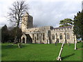
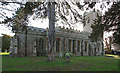
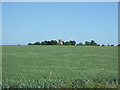
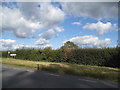
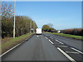
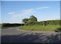
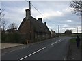
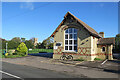
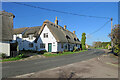
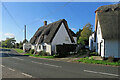
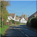
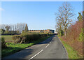
37 photos from this area
Area Information
Key information about the SG8 5RX including its size, population, and administrative classification.
- Area Type
- Postcode
- Area Size
- 14.9 hectares
- Population
- 1220
- Population Density
- 55 people/km²
House Prices in SG8 5RX
18
Properties
£590,875
Average Sold Price
£290,000
Lowest Price
£830,000
Highest Price
Showing 18 properties
| Address | Type | Beds | Baths | Last Sale Price | Last Sale Date | |
|---|---|---|---|---|---|---|
| 114 Church Street, Whaddon, SG8 5RX | Detached | 4 | 3 | £830,000 | May 2024 | |
| 132 Church Street, Whaddon, SG8 5RX | Bungalow | - | - | £592,000 | Jan 2022 | |
| 116 Church Street, Whaddon, SG8 5RX | Detached | 4 | 2 | £745,000 | Sep 2021 | |
| 136 Church Street, Whaddon, SG8 5RX | house | - | - | £645,000 | Jan 2021 | |
| 108 Church Street, Whaddon, SG8 5RX | house | - | - | £615,000 | Sep 2016 | |
| 134 Church Street, Whaddon, SG8 5RX | Detached | 4 | 2 | £410,000 | Jun 2012 | |
| 138 Church Street, Whaddon, SG8 5RX | house | - | - | £290,000 | May 2007 | |
| 112 Church Street, Whaddon, SG8 5RX | Detached | 5 | 3 | £600,000 | Apr 2007 | |
| 118 Church Street, Whaddon, SG8 5RX | Bungalow | 2 | - | - | - | |
| 106 Church Street, Whaddon, SG8 5RX | house | 3 | - | - | - |
Page 1 of 2
Energy Efficiency in SG8 5RX
Amenities
Schools
| Rank | School | Type | Entry gender | Ages |
|---|
Explore more schools in this area
Go to Schools tabDemographics
Household Size
Family (3-5 people)
most common
Accommodation Type
Houses
most common
Tenure
64
majority
Ethnic Group
White
most common
Religion
N/A
most common
Household Composition
N/A
most common
Age
47
median
Adults (30-64 years)
most common
Household Deprivation
N/A
with no deprivation
NS-SEC
40
in Lower managerial occupations
Explore more demographic insights in this area
Go to Demographics tabPlanning
Planning Constraints
- Flood RiskPremium
- Ramsar Wetland SitesPremium
- Area of Outstanding Natural BeautyPremium
- Protected Nature ReservePremium
- Protected WoodlandPremium