Area Overview for SG8 5NL
Photos of SG8 5NL
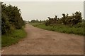
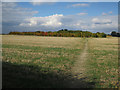
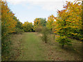
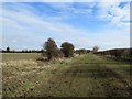
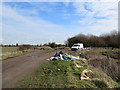
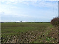
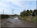
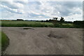
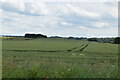
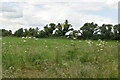
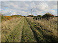
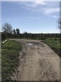
21 photos from this area
Area Information
Key information about the SG8 5NL including its size, population, and administrative classification.
- Area Type
- Postcode
- Area Size
- 84.0 hectares
- Population
- 1642
- Population Density
- 117 people/km²
House Prices in SG8 5NL
34
Properties
£437,342
Average Sold Price
£83,000
Lowest Price
£945,000
Highest Price
Showing 34 properties
| Address | Type | Beds | Baths | Last Sale Price | Last Sale Date | |
|---|---|---|---|---|---|---|
| 72 South End, Bassingbourn Cum Kneesworth, SG8 5NL | Detached | 3 | 2 | £945,000 | Feb 2025 | |
| 76 South End, Bassingbourn Cum Kneesworth, SG8 5NL | Cottage | 4 | 2 | £670,000 | Nov 2024 | |
| 54 South End, Bassingbourn Cum Kneesworth, SG8 5NL | Terraced | 3 | 2 | £470,000 | Aug 2024 | |
| 68 South End, Bassingbourn Cum Kneesworth, SG8 5NL | Detached | 4 | 1 | £350,000 | Mar 2024 | |
| 80 South End, Bassingbourn Cum Kneesworth, SG8 5NL | house | - | - | £318,500 | Apr 2022 | |
| 74 South End, Bassingbourn Cum Kneesworth, SG8 5NL | house | - | - | £855,000 | Mar 2022 | |
| 58 South End, Bassingbourn Cum Kneesworth, SG8 5NL | Cottage | 3 | 1 | £310,000 | Oct 2020 | |
| 31 South End, Bassingbourn Cum Kneesworth, SG8 5NL | Semi-detached | 5 | 2 | £850,000 | Aug 2020 | |
| 62 South End, Bassingbourn Cum Kneesworth, SG8 5NL | house | - | - | £527,500 | Oct 2016 | |
| 60 South End, Bassingbourn Cum Kneesworth, SG8 5NL | Semi-detached | - | - | £642,500 | Sep 2016 |
Page 1 of 4
Energy Efficiency in SG8 5NL
Amenities
Schools
| Rank | School | Type | Entry gender | Ages |
|---|
Explore more schools in this area
Go to Schools tabDemographics
Household Size
Family (3-5 people)
most common
Accommodation Type
Houses
most common
Tenure
82
majority
Ethnic Group
White
most common
Religion
N/A
most common
Household Composition
N/A
most common
Age
47
median
Adults (30-64 years)
most common
Household Deprivation
N/A
with no deprivation
NS-SEC
46
in Lower managerial occupations
Explore more demographic insights in this area
Go to Demographics tabPlanning
Planning Constraints
- Flood RiskPremium
- Ramsar Wetland SitesPremium
- Area of Outstanding Natural BeautyPremium
- Protected Nature ReservePremium
- Protected WoodlandPremium