Area Overview for SG6 4SF
Photos of SG6 4SF

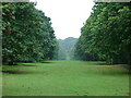
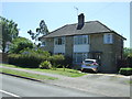
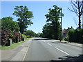
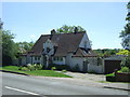
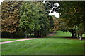
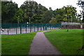
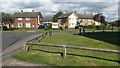
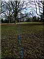

31 photos from this area
Area Information
Key information about the SG6 4SF including its size, population, and administrative classification.
- Area Type
- Postcode
- Area Size
- 1.4 hectares
- Population
- 1824
- Population Density
- 5910 people/km²
House Prices in SG6 4SF
32
Properties
£274,740
Average Sold Price
£108,000
Lowest Price
£385,114
Highest Price
Showing 32 properties
| Address | Type | Beds | Baths | Last Sale Price | Last Sale Date | |
|---|---|---|---|---|---|---|
| 31 Midhurst, Letchworth Garden City, SG6 4SF | Terraced | 3 | 1 | £355,000 | Nov 2024 | |
| 25 Midhurst, Letchworth Garden City, SG6 4SF | Terraced | 3 | 1 | £340,000 | Feb 2024 | |
| 12 Midhurst, Letchworth Garden City, SG6 4SF | Semi-detached | 2 | 1 | £325,000 | Jun 2022 | |
| 19 Midhurst, Letchworth Garden City, SG6 4SF | house | - | - | £345,000 | Jan 2022 | |
| 36 Midhurst, Letchworth Garden City, SG6 4SF | Terraced | 3 | 1 | £290,000 | May 2021 | |
| 1 Midhurst, Letchworth Garden City, SG6 4SF | house | - | - | £385,114 | Jan 2021 | |
| 22 Midhurst, Letchworth Garden City, SG6 4SF | Terraced | - | - | £275,000 | Oct 2018 | |
| 11 Midhurst, Letchworth Garden City, SG6 4SF | Semi-detached | - | - | £280,000 | Jun 2018 | |
| 9 Midhurst, Letchworth Garden City, SG6 4SF | Semi-detached | 4 | 2 | £370,000 | Jan 2015 | |
| 24 Midhurst, Letchworth Garden City, SG6 4SF | Terraced | - | - | £215,000 | Aug 2008 |
Page 1 of 4
Energy Efficiency in SG6 4SF
Amenities
Schools
| Rank | School | Type | Entry gender | Ages |
|---|
Explore more schools in this area
Go to Schools tabDemographics
Household Size
One person
most common
Accommodation Type
Houses
most common
Tenure
36
majority
Ethnic Group
White
most common
Religion
N/A
most common
Household Composition
N/A
most common
Age
47
median
Adults (30-64 years)
most common
Household Deprivation
N/A
with no deprivation
NS-SEC
24
in Lower managerial occupations
Explore more demographic insights in this area
Go to Demographics tabPlanning
Planning Constraints
- Flood RiskPremium
- Ramsar Wetland SitesPremium
- Area of Outstanding Natural BeautyPremium
- Protected Nature ReservePremium
- Protected WoodlandPremium