Area Overview for SG6 4QB
Photos of SG6 4QB
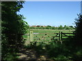
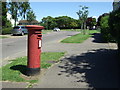
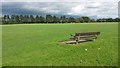
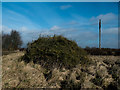
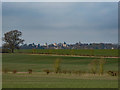
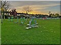
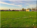
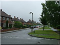
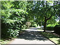
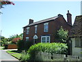
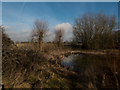
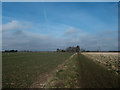
20 photos from this area
Area Information
Key information about the SG6 4QB including its size, population, and administrative classification.
- Area Type
- Postcode
- Area Size
- 1.3 hectares
- Population
- 1854
- Population Density
- 900 people/km²
House Prices in SG6 4QB
40
Properties
£255,606
Average Sold Price
£111,000
Lowest Price
£430,000
Highest Price
Showing 40 properties
| Address | Type | Beds | Baths | Last Sale Price | Last Sale Date | |
|---|---|---|---|---|---|---|
| 21 Maycroft, Letchworth Garden City, SG6 4QB | Flat | - | - | £187,500 | Jul 2025 | |
| 19 Maycroft, Letchworth Garden City, SG6 4QB | Flat | - | - | £158,500 | Apr 2025 | |
| 33 Maycroft, Letchworth Garden City, SG6 4QB | Terraced | 2 | 1 | £311,275 | Mar 2025 | |
| 67 Maycroft, Letchworth Garden City, SG6 4QB | house | - | - | £430,000 | Aug 2024 | |
| 55 Maycroft, Letchworth Garden City, SG6 4QB | Semi-detached | 3 | 1 | £378,000 | Aug 2022 | |
| 53 Maycroft, Letchworth Garden City, SG6 4QB | house | 4 | 2 | £415,000 | Jun 2022 | |
| 17 Maycroft, Letchworth Garden City, SG6 4QB | Flat | - | - | £180,000 | Dec 2020 | |
| 71 Maycroft, Letchworth Garden City, SG6 4QB | Terraced | 3 | 1 | £270,000 | Jan 2019 | |
| 59 Maycroft, Letchworth Garden City, SG6 4QB | Semi-detached | 3 | - | £256,000 | Oct 2015 | |
| 45 Maycroft, Letchworth Garden City, SG6 4QB | house | - | - | £180,000 | Apr 2012 |
Page 1 of 4
Energy Efficiency in SG6 4QB
Amenities
Schools
| Rank | School | Type | Entry gender | Ages |
|---|
Explore more schools in this area
Go to Schools tabDemographics
Household Size
Family (3-5 people)
most common
Accommodation Type
Houses
most common
Tenure
64
majority
Ethnic Group
White
most common
Religion
N/A
most common
Household Composition
N/A
most common
Age
47
median
Adults (30-64 years)
most common
Household Deprivation
N/A
with no deprivation
NS-SEC
38
in Lower managerial occupations
Explore more demographic insights in this area
Go to Demographics tabPlanning
Planning Constraints
- Flood RiskPremium
- Ramsar Wetland SitesPremium
- Area of Outstanding Natural BeautyPremium
- Protected Nature ReservePremium
- Protected WoodlandPremium