Area Overview for SG6 3TU
Photos of SG6 3TU
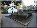
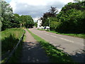
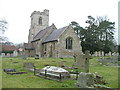
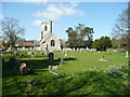
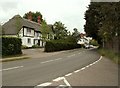
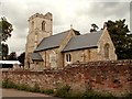
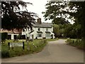
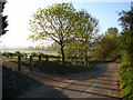
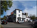
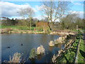
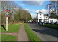
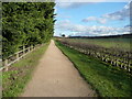
40 photos from this area
Area Information
Key information about the SG6 3TU including its size, population, and administrative classification.
- Area Type
- Postcode
- Area Size
- 2.2 hectares
- Population
- 1193
- Population Density
- 450 people/km²
House Prices in SG6 3TU
26
Properties
£522,645
Average Sold Price
£196,000
Lowest Price
£990,000
Highest Price
Showing 26 properties
| Address | Type | Beds | Baths | Last Sale Price | Last Sale Date | |
|---|---|---|---|---|---|---|
| 47 Aubreys, Letchworth Garden City, SG6 3TU | house | - | - | £915,000 | Apr 2025 | |
| 41 Aubreys, Letchworth Garden City, SG6 3TU | house | - | - | £675,250 | Mar 2025 | |
| 31 Aubreys, Letchworth Garden City, SG6 3TU | house | 5 | 2 | £940,000 | Feb 2025 | |
| 32 Aubreys, Letchworth Garden City, SG6 3TU | Detached | 5 | 4 | £990,000 | Apr 2024 | |
| 43 Aubreys, Letchworth Garden City, SG6 3TU | house | - | - | £690,000 | Dec 2020 | |
| 30 Aubreys, Letchworth Garden City, SG6 3TU | house | - | - | £715,000 | Oct 2019 | |
| 37 Aubreys, Letchworth Garden City, SG6 3TU | house | - | - | £625,000 | Mar 2016 | |
| 36 Aubreys, Letchworth Garden City, SG6 3TU | Detached | 4 | - | £526,000 | Dec 2014 | |
| 49 Aubreys, Letchworth Garden City, SG6 3TU | house | - | - | £545,000 | Sep 2013 | |
| 40 Aubreys, Letchworth Garden City, SG6 3TU | Bungalow | - | - | £430,000 | May 2013 |
Page 1 of 3
Energy Efficiency in SG6 3TU
Amenities
Schools
| Rank | School | Type | Entry gender | Ages |
|---|
Explore more schools in this area
Go to Schools tabDemographics
Household Size
Two person
most common
Accommodation Type
Houses
most common
Tenure
85
majority
Ethnic Group
White
most common
Religion
N/A
most common
Household Composition
N/A
most common
Age
47
median
Adults (30-64 years)
most common
Household Deprivation
N/A
with no deprivation
NS-SEC
55
in Lower managerial occupations
Explore more demographic insights in this area
Go to Demographics tabPlanning
Planning Constraints
- Flood RiskPremium
- Ramsar Wetland SitesPremium
- Area of Outstanding Natural BeautyPremium
- Protected Nature ReservePremium
- Protected WoodlandPremium