Area Overview for SG6 2EJ
Photos of SG6 2EJ
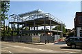
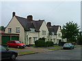
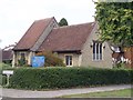
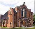
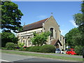
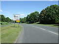
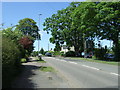

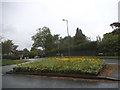
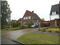
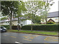
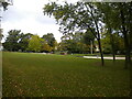
47 photos from this area
Area Information
Key information about the SG6 2EJ including its size, population, and administrative classification.
- Area Type
- Postcode
- Area Size
- 3.3 hectares
- Population
- 1256
- Population Density
- 3098 people/km²
House Prices in SG6 2EJ
33
Properties
£364,800
Average Sold Price
£51,000
Lowest Price
£895,000
Highest Price
Showing 33 properties
| Address | Type | Beds | Baths | Last Sale Price | Last Sale Date | |
|---|---|---|---|---|---|---|
| 189 Baldock Road, Letchworth Garden City, SG6 2EJ | Retail | 4 | 3 | £695,000 | Sep 2022 | |
| 185 Baldock Road, Letchworth Garden City, SG6 2EJ | house | - | - | £507,000 | Mar 2022 | |
| 108 Baldock Road, Letchworth Garden City, SG6 2EJ | Terraced | 4 | 1 | £366,000 | Apr 2021 | |
| 106 Baldock Road, Letchworth Garden City, SG6 2EJ | house | - | - | £335,000 | Apr 2021 | |
| 191 Baldock Road, Letchworth Garden City, SG6 2EJ | house | - | - | £565,000 | Nov 2020 | |
| 165 Baldock Road, Letchworth Garden City, SG6 2EJ | Detached | 6 | 5 | £895,000 | Aug 2018 | |
| 104 Baldock Road, Letchworth Garden City, SG6 2EJ | Terraced | 4 | 1 | £320,000 | Jun 2017 | |
| 195 Baldock Road, Letchworth Garden City, SG6 2EJ | Semi-detached | 3 | - | £368,500 | Jul 2016 | |
| 110 Baldock Road, Letchworth Garden City, SG6 2EJ | house | - | - | £317,500 | Jan 2016 | |
| 203 Baldock Road, Letchworth Garden City, SG6 2EJ | Detached | 4 | 1 | £452,500 | Feb 2015 |
Page 1 of 4
Energy Efficiency in SG6 2EJ
Amenities
Schools
| Rank | School | Type | Entry gender | Ages |
|---|
Explore more schools in this area
Go to Schools tabDemographics
Household Size
Family (3-5 people)
most common
Accommodation Type
Houses
most common
Tenure
63
majority
Ethnic Group
White
most common
Religion
N/A
most common
Household Composition
N/A
most common
Age
47
median
Adults (30-64 years)
most common
Household Deprivation
N/A
with no deprivation
NS-SEC
32
in Lower managerial occupations
Explore more demographic insights in this area
Go to Demographics tabPlanning
Planning Constraints
- Flood RiskPremium
- Ramsar Wetland SitesPremium
- Area of Outstanding Natural BeautyPremium
- Protected Nature ReservePremium
- Protected WoodlandPremium