Area Overview for SG6 1AE
Photos of SG6 1AE
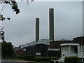

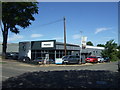
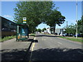

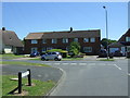
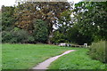

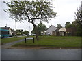
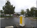
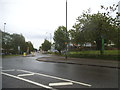
40 photos from this area
Area Information
Key information about the SG6 1AE including its size, population, and administrative classification.
- Area Type
- Postcode
- Area Size
- 4.5 hectares
- Population
- 1854
- Population Density
- 900 people/km²
House Prices in SG6 1AE
21
Properties
£673,138
Average Sold Price
£360,000
Lowest Price
£1,200,000
Highest Price
Showing 21 properties
| Address | Type | Beds | Baths | Last Sale Price | Last Sale Date | |
|---|---|---|---|---|---|---|
| 52 Norton Road, Letchworth Garden City, SG6 1AE | Detached | 4 | 2 | £840,000 | Dec 2023 | |
| 44 Norton Road, Letchworth Garden City, SG6 1AE | Detached | 4 | - | £830,000 | Apr 2023 | |
| 68 Norton Road, Letchworth Garden City, SG6 1AE | house | - | - | £1,200,000 | Oct 2020 | |
| 58 Norton Road, Letchworth Garden City, SG6 1AE | Detached | 4 | 2 | £765,000 | Aug 2019 | |
| 42 Norton Road, Letchworth Garden City, SG6 1AE | Detached | 4 | 2 | £655,000 | Feb 2017 | |
| 64A Norton Road, Letchworth Garden City, SG6 1AE | house | 7 | - | £970,000 | Jun 2015 | |
| 54 Norton Road, Letchworth Garden City, SG6 1AE | house | - | - | £543,800 | Mar 2015 | |
| 34 Norton Road, Letchworth Garden City, SG6 1AE | Detached | 5 | - | £360,000 | Aug 2012 | |
| 46 Norton Road, Letchworth Garden City, SG6 1AE | house | 5 | - | £635,000 | Jan 2012 | |
| 36 Norton Road, Letchworth Garden City, SG6 1AE | Detached | - | - | £525,000 | Jul 2008 |
Page 1 of 3
Energy Efficiency in SG6 1AE
Amenities
Schools
| Rank | School | Type | Entry gender | Ages |
|---|
Explore more schools in this area
Go to Schools tabDemographics
Household Size
Family (3-5 people)
most common
Accommodation Type
Houses
most common
Tenure
64
majority
Ethnic Group
White
most common
Religion
N/A
most common
Household Composition
N/A
most common
Age
47
median
Adults (30-64 years)
most common
Household Deprivation
N/A
with no deprivation
NS-SEC
38
in Lower managerial occupations
Explore more demographic insights in this area
Go to Demographics tabPlanning
Planning Constraints
- Flood RiskPremium
- Ramsar Wetland SitesPremium
- Area of Outstanding Natural BeautyPremium
- Protected Nature ReservePremium
- Protected WoodlandPremium