Area Overview for SG5 4TD
Photos of SG5 4TD
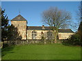
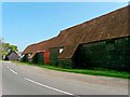
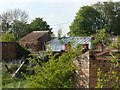
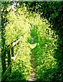
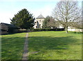
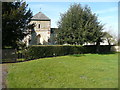
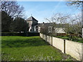
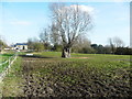
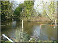
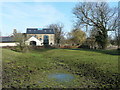
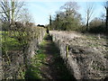
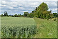
33 photos from this area
Area Information
Key information about the SG5 4TD including its size, population, and administrative classification.
- Area Type
- Postcode
- Area Size
- 3.0 hectares
- Population
- 2154
- Population Density
- 525 people/km²
House Prices in SG5 4TD
22
Properties
£863,528
Average Sold Price
£369,995
Lowest Price
£7,389,300
Highest Price
Showing 22 properties
| Address | Type | Beds | Baths | Last Sale Price | Last Sale Date | |
|---|---|---|---|---|---|---|
| 14 Fir Tree Road, Stotfold, SG5 4TD | house | - | - | £458,000 | Feb 2025 | |
| 4 Fir Tree Road, Stotfold, SG5 4TD | house | - | - | £610,000 | Nov 2024 | |
| 21 Fir Tree Road, Stotfold, SG5 4TD | house | - | - | £679,995 | Mar 2023 | |
| 19 Fir Tree Road, Stotfold, SG5 4TD | house | - | - | £624,995 | Jun 2022 | |
| 15 Fir Tree Road, Stotfold, SG5 4TD | house | 4 | 2 | £599,995 | May 2022 | |
| 9 Fir Tree Road, Stotfold, SG5 4TD | house | - | - | £534,995 | Mar 2022 | |
| 17 Fir Tree Road, Stotfold, SG5 4TD | house | - | - | £574,995 | Feb 2022 | |
| 11 Fir Tree Road, Stotfold, SG5 4TD | house | - | - | £749,995 | Feb 2022 | |
| 22 Fir Tree Road, Stotfold, SG5 4TD | house | - | - | £839,995 | Feb 2022 | |
| 18 Fir Tree Road, Stotfold, SG5 4TD | house | - | - | £829,995 | Jan 2022 |
Page 1 of 3
Energy Efficiency in SG5 4TD
Amenities
Schools
| Rank | School | Type | Entry gender | Ages |
|---|
Explore more schools in this area
Go to Schools tabDemographics
Household Size
Family (3-5 people)
most common
Accommodation Type
Houses
most common
Tenure
82
majority
Ethnic Group
White
most common
Religion
N/A
most common
Household Composition
N/A
most common
Age
47
median
Adults (30-64 years)
most common
Household Deprivation
N/A
with no deprivation
NS-SEC
41
in Lower managerial occupations
Explore more demographic insights in this area
Go to Demographics tabPlanning
Planning Constraints
- Flood RiskPremium
- Ramsar Wetland SitesPremium
- Area of Outstanding Natural BeautyPremium
- Protected Nature ReservePremium
- Protected WoodlandPremium