Area Overview for SG5 3PS
Photos of SG5 3PS
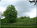
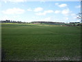
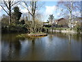
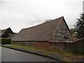
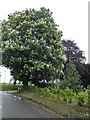
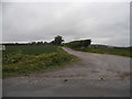
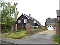
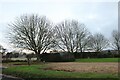
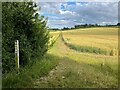
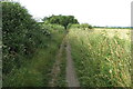
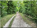
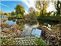
45 photos from this area
Area Information
Key information about the SG5 3PS including its size, population, and administrative classification.
- Area Type
- Postcode
- Area Size
- 3.4 hectares
- Population
- 2539
- Population Density
- 96 people/km²
House Prices in SG5 3PS
32
Properties
£415,076
Average Sold Price
£170,000
Lowest Price
£690,000
Highest Price
Showing 32 properties
| Address | Type | Beds | Baths | Last Sale Price | Last Sale Date | |
|---|---|---|---|---|---|---|
| 35 High Street, Pirton, SG5 3PS | Detached | 4 | - | £690,000 | Mar 2024 | |
| The Almonds, 8A High Street, Pirton, SG5 3PS | Bungalow | 2 | 1 | £440,000 | Jun 2021 | |
| 14A High Street, Pirton, SG5 3PS | house | - | - | £495,000 | Apr 2021 | |
| Lane House, High Street, Pirton, SG5 3PS | Detached | 2 | - | £280,000 | Oct 2020 | |
| Wesley, High Street, Pirton, SG5 3PS | house | - | - | £445,000 | Jun 2020 | |
| 5 High Street, Pirton, SG5 3PS | Terraced | 2 | 1 | £218,000 | Apr 2019 | |
| 14 High Street, Pirton, SG5 3PS | Detached | 4 | - | £495,000 | Jun 2017 | |
| 31A High Street, Pirton, SG5 3PS | Detached | 4 | 2 | £423,500 | Mar 2016 | |
| 31 High Street, Pirton, SG5 3PS | Detached | 3 | 2 | £642,000 | Oct 2015 | |
| 12 High Street, Pirton, SG5 3PS | Detached | 2 | - | £408,000 | Nov 2014 |
Page 1 of 4
Energy Efficiency in SG5 3PS
Amenities
Schools
| Rank | School | Type | Entry gender | Ages |
|---|
Explore more schools in this area
Go to Schools tabDemographics
Household Size
Two person
most common
Accommodation Type
Houses
most common
Tenure
71
majority
Ethnic Group
White
most common
Religion
N/A
most common
Household Composition
N/A
most common
Age
47
median
Adults (30-64 years)
most common
Household Deprivation
N/A
with no deprivation
NS-SEC
47
in Lower managerial occupations
Explore more demographic insights in this area
Go to Demographics tabPlanning
Planning Constraints
- Flood RiskPremium
- Ramsar Wetland SitesPremium
- Area of Outstanding Natural BeautyPremium
- Protected Nature ReservePremium
- Protected WoodlandPremium