Area Overview for SG5 1RY
Photos of SG5 1RY

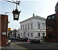

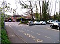
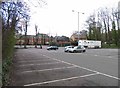
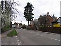
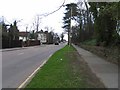
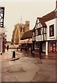
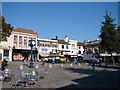

100 photos from this area
Area Information
Key information about the SG5 1RY including its size, population, and administrative classification.
- Area Type
- Postcode
- Area Size
- 1.2 hectares
- Population
- 2205
- Population Density
- 7301 people/km²
House Prices in SG5 1RY
92
Properties
£229,245
Average Sold Price
£79,995
Lowest Price
£319,000
Highest Price
Showing 92 properties
| Address | Type | Beds | Baths | Last Sale Price | Last Sale Date | |
|---|---|---|---|---|---|---|
| 60 Peppermint Road, Hitchin, SG5 1RY | Flat | - | - | £145,000 | Sep 2025 | |
| 24 Peppermint Road, Hitchin, SG5 1RY | Flat | 2 | 2 | £285,000 | Aug 2025 | |
| 79 Peppermint Road, Hitchin, SG5 1RY | Flat | - | - | £290,000 | May 2025 | |
| 23 Peppermint Road, Hitchin, SG5 1RY | Flat | 2 | 2 | £301,000 | Mar 2025 | |
| 56 Peppermint Road, Hitchin, SG5 1RY | Flat | 1 | 1 | £125,000 | Feb 2025 | |
| 15 Peppermint Road, Hitchin, SG5 1RY | Flat | 2 | 2 | £289,000 | Dec 2024 | |
| 4 Peppermint Road, Hitchin, SG5 1RY | Flat | - | - | £225,000 | Sep 2024 | |
| 29 Peppermint Road, Hitchin, SG5 1RY | Flat | - | - | £310,000 | Apr 2024 | |
| 77 Peppermint Road, Hitchin, SG5 1RY | Flat | - | - | £293,000 | Feb 2024 | |
| 45 Peppermint Road, Hitchin, SG5 1RY | Flat | - | - | £307,000 | Aug 2023 |
Page 1 of 10
Energy Efficiency in SG5 1RY
Amenities
Schools
| Rank | School | Type | Entry gender | Ages |
|---|
Explore more schools in this area
Go to Schools tabDemographics
Household Size
One person
most common
Accommodation Type
Flats
most common
Tenure
42
majority
Ethnic Group
White
most common
Religion
N/A
most common
Household Composition
N/A
most common
Age
47
median
Adults (30-64 years)
most common
Household Deprivation
N/A
with no deprivation
NS-SEC
50
in Lower managerial occupations
Explore more demographic insights in this area
Go to Demographics tabPlanning
Planning Constraints
- Flood RiskPremium
- Ramsar Wetland SitesPremium
- Area of Outstanding Natural BeautyPremium
- Protected Nature ReservePremium
- Protected WoodlandPremium