Area Overview for SG5 1PA
Photos of SG5 1PA
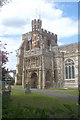
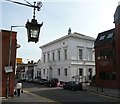
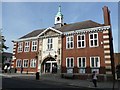
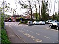
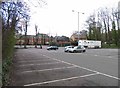
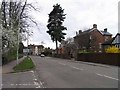
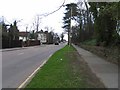
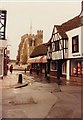
100 photos from this area
Area Information
Key information about the SG5 1PA including its size, population, and administrative classification.
- Area Type
- Postcode
- Area Size
- 1.7 hectares
- Population
- 1571
- Population Density
- 3343 people/km²
House Prices in SG5 1PA
52
Properties
£345,208
Average Sold Price
£37,000
Lowest Price
£865,000
Highest Price
Showing 52 properties
| Address | Type | Beds | Baths | Last Sale Price | Last Sale Date | |
|---|---|---|---|---|---|---|
| 35 Lancaster Avenue, Hitchin, SG5 1PA | Semi-detached | 5 | 2 | £840,000 | Mar 2025 | |
| 69 Lancaster Avenue, Hitchin, SG5 1PA | Flat | 2 | 1 | £240,000 | Apr 2022 | |
| 75 Lancaster Avenue, Hitchin, SG5 1PA | Flat | - | - | £212,000 | Sep 2021 | |
| 67 Lancaster Avenue, Hitchin, SG5 1PA | Flat | - | - | £230,000 | Jul 2021 | |
| 63 Lancaster Avenue, Hitchin, SG5 1PA | Maisonette | 2 | 1 | £220,000 | Apr 2021 | |
| 9 Lancaster Avenue, Hitchin, SG5 1PA | house | - | - | £735,000 | Nov 2020 | |
| 29 Lancaster Avenue, Hitchin, SG5 1PA | Semi-detached | 4 | 1 | £865,000 | Oct 2020 | |
| 11 Lancaster Avenue, Hitchin, SG5 1PA | house | - | - | £765,000 | Aug 2020 | |
| 61 Lancaster Avenue, Hitchin, SG5 1PA | Flat | - | - | £227,500 | Apr 2019 | |
| 59 Lancaster Avenue, Hitchin, SG5 1PA | Flat | 1 | 1 | £132,000 | Jan 2019 |
Page 1 of 6
Energy Efficiency in SG5 1PA
Amenities
Schools
| Rank | School | Type | Entry gender | Ages |
|---|
Explore more schools in this area
Go to Schools tabDemographics
Household Size
Family (3-5 people)
most common
Accommodation Type
Houses
most common
Tenure
82
majority
Ethnic Group
White
most common
Religion
N/A
most common
Household Composition
N/A
most common
Age
47
median
Adults (30-64 years)
most common
Household Deprivation
N/A
with no deprivation
NS-SEC
54
in Lower managerial occupations
Explore more demographic insights in this area
Go to Demographics tabPlanning
Planning Constraints
- Flood RiskPremium
- Ramsar Wetland SitesPremium
- Area of Outstanding Natural BeautyPremium
- Protected Nature ReservePremium
- Protected WoodlandPremium