Area Overview for SG4 9EA
Photos of SG4 9EA
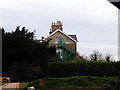
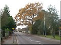
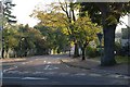
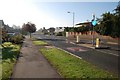
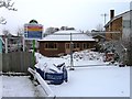
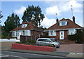
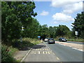
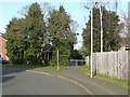
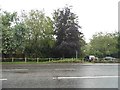
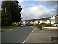
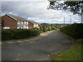
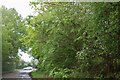
24 photos from this area
Area Information
Key information about the SG4 9EA including its size, population, and administrative classification.
- Area Type
- Postcode
- Area Size
- 4931 m²
- Population
- 1607
- Population Density
- 4422 people/km²
House Prices in SG4 9EA
9
Properties
£361,813
Average Sold Price
£195,000
Lowest Price
£490,000
Highest Price
Showing 9 properties
| Address | Type | Beds | Baths | Last Sale Price | Last Sale Date | |
|---|---|---|---|---|---|---|
| 193 Stevenage Road, Hitchin, SG4 9EA | Terraced | 2 | 2 | £470,000 | Jun 2024 | |
| 203 Stevenage Road, Hitchin, SG4 9EA | Bungalow | 4 | - | £490,000 | Jun 2021 | |
| 205 Stevenage Road, Hitchin, SG4 9EA | Bungalow | - | - | £360,000 | Mar 2021 | |
| 201 Stevenage Road, Hitchin, SG4 9EA | Detached | 4 | 2 | £480,000 | Oct 2020 | |
| 197 Stevenage Road, Hitchin, SG4 9EA | Terraced | 2 | 1 | £310,000 | Sep 2018 | |
| 199 Stevenage Road, Hitchin, SG4 9EA | Terraced | 2 | 1 | £304,500 | Jul 2018 | |
| 195 Stevenage Road, Hitchin, SG4 9EA | house | 3 | - | £195,000 | Dec 2011 | |
| 209 Stevenage Road, Hitchin, SG4 9EA | Detached | - | - | £285,000 | Sep 2004 | |
| 207 Stevenage Road, Hitchin, SG4 9EA | Detached | - | - | - | - |
Energy Efficiency in SG4 9EA
Amenities
Schools
| Rank | School | Type | Entry gender | Ages |
|---|
Explore more schools in this area
Go to Schools tabDemographics
Household Size
Two person
most common
Accommodation Type
Houses
most common
Tenure
91
majority
Ethnic Group
White
most common
Religion
N/A
most common
Household Composition
N/A
most common
Age
47
median
Adults (30-64 years)
most common
Household Deprivation
N/A
with no deprivation
NS-SEC
56
in Lower managerial occupations
Explore more demographic insights in this area
Go to Demographics tabPlanning
Planning Constraints
- Flood RiskPremium
- Ramsar Wetland SitesPremium
- Area of Outstanding Natural BeautyPremium
- Protected Nature ReservePremium
- Protected WoodlandPremium