Area Overview for SG4 0HS
Photos of SG4 0HS
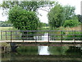

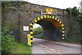
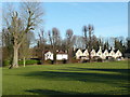
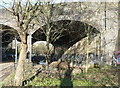
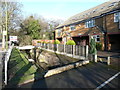
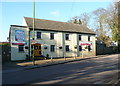
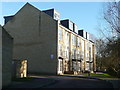
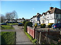
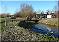
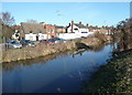
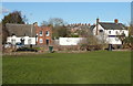
61 photos from this area
Area Information
Key information about the SG4 0HS including its size, population, and administrative classification.
- Area Type
- Postcode
- Area Size
- 7786 m²
- Population
- 1699
- Population Density
- 3180 people/km²
House Prices in SG4 0HS
25
Properties
£243,700
Average Sold Price
£42,000
Lowest Price
£576,000
Highest Price
Showing 25 properties
| Address | Type | Beds | Baths | Last Sale Price | Last Sale Date | |
|---|---|---|---|---|---|---|
| 88 Common Rise, Hitchin, SG4 0HS | Semi-detached | 3 | 2 | £576,000 | Feb 2025 | |
| 141 Common Rise, Hitchin, SG4 0HS | Semi-detached | 4 | 2 | £570,000 | Feb 2025 | |
| 86 Common Rise, Hitchin, SG4 0HS | Semi-detached | 3 | 1 | £430,000 | Jan 2024 | |
| 153 Common Rise, Hitchin, SG4 0HS | Semi-detached | 2 | 1 | £365,000 | Nov 2020 | |
| 74 Common Rise, Hitchin, SG4 0HS | Semi-detached | 3 | 1 | £235,000 | Jul 2019 | |
| 94 Common Rise, Hitchin, SG4 0HS | Semi-detached | - | - | £315,000 | Jan 2017 | |
| 92 Common Rise, Hitchin, SG4 0HS | Semi-detached | 3 | 2 | £250,000 | Jul 2014 | |
| 76 Common Rise, Hitchin, SG4 0HS | Semi-detached | 3 | 1 | £192,000 | May 2008 | |
| 143 Common Rise, Hitchin, SG4 0HS | Semi-detached | - | - | £161,000 | Mar 2007 | |
| 161 Common Rise, Hitchin, SG4 0HS | Detached | 3 | 2 | £146,500 | Mar 2006 |
Page 1 of 3
Energy Efficiency in SG4 0HS
Amenities
Schools
| Rank | School | Type | Entry gender | Ages |
|---|
Explore more schools in this area
Go to Schools tabDemographics
Household Size
Two person
most common
Accommodation Type
Houses
most common
Tenure
64
majority
Ethnic Group
White
most common
Religion
N/A
most common
Household Composition
N/A
most common
Age
47
median
Adults (30-64 years)
most common
Household Deprivation
N/A
with no deprivation
NS-SEC
51
in Lower managerial occupations
Explore more demographic insights in this area
Go to Demographics tabPlanning
Planning Constraints
- Flood RiskPremium
- Ramsar Wetland SitesPremium
- Area of Outstanding Natural BeautyPremium
- Protected Nature ReservePremium
- Protected WoodlandPremium