Area Overview for SG4 0DB
Photos of SG4 0DB
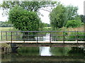

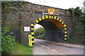
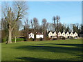
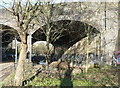
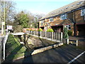
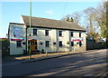
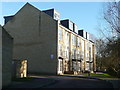
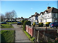
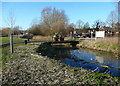
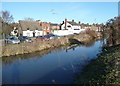
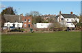
61 photos from this area
Area Information
Key information about the SG4 0DB including its size, population, and administrative classification.
- Area Type
- Postcode
- Area Size
- 9349 m²
- Population
- 1426
- Population Density
- 745 people/km²
House Prices in SG4 0DB
44
Properties
£155,973
Average Sold Price
£26,750
Lowest Price
£425,000
Highest Price
Showing 44 properties
| Address | Type | Beds | Baths | Last Sale Price | Last Sale Date | |
|---|---|---|---|---|---|---|
| 84 Millstream Close, Hitchin, SG4 0DB | Maisonette | 2 | 1 | £245,000 | Jul 2025 | |
| 78 Millstream Close, Hitchin, SG4 0DB | Terraced | 3 | 1 | £425,000 | Jun 2025 | |
| 105 Millstream Close, Hitchin, SG4 0DB | Flat | 1 | 1 | £215,000 | Aug 2023 | |
| 77 Millstream Close, Hitchin, SG4 0DB | Terraced | 3 | 1 | £360,000 | Dec 2022 | |
| 82 Millstream Close, Hitchin, SG4 0DB | house | - | - | £370,000 | Jul 2022 | |
| 66 Millstream Close, Hitchin, SG4 0DB | Flat | 1 | 1 | £155,000 | Aug 2021 | |
| 94 Millstream Close, Hitchin, SG4 0DB | Flat | 2 | 1 | £210,000 | Jul 2021 | |
| 109 Millstream Close, Hitchin, SG4 0DB | Flat | 1 | - | £197,500 | Apr 2021 | |
| 99 Millstream Close, Hitchin, SG4 0DB | Flat | 2 | 1 | £230,000 | Feb 2020 | |
| 93 Millstream Close, Hitchin, SG4 0DB | Maisonette | 2 | 1 | £239,995 | Feb 2018 |
Page 1 of 5
Energy Efficiency in SG4 0DB
Amenities
Schools
| Rank | School | Type | Entry gender | Ages |
|---|
Explore more schools in this area
Go to Schools tabDemographics
Household Size
One person
most common
Accommodation Type
Flats
most common
Tenure
46
majority
Ethnic Group
White
most common
Religion
N/A
most common
Household Composition
N/A
most common
Age
47
median
Adults (30-64 years)
most common
Household Deprivation
N/A
with no deprivation
NS-SEC
40
in Lower managerial occupations
Explore more demographic insights in this area
Go to Demographics tabPlanning
Planning Constraints
- Flood RiskPremium
- Ramsar Wetland SitesPremium
- Area of Outstanding Natural BeautyPremium
- Protected Nature ReservePremium
- Protected WoodlandPremium