Area Overview for SG2 9AU
Photos of SG2 9AU
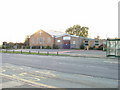
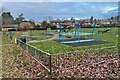

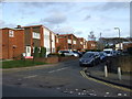
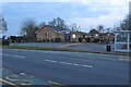

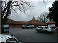
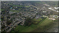
13 photos from this area
Area Information
Key information about the SG2 9AU including its size, population, and administrative classification.
- Area Type
- Postcode
- Area Size
- 6511 m²
- Population
- 1624
- Population Density
- 4557 people/km²
House Prices in SG2 9AU
24
Properties
£225,571
Average Sold Price
£132,000
Lowest Price
£330,000
Highest Price
Showing 24 properties
| Address | Type | Beds | Baths | Last Sale Price | Last Sale Date | |
|---|---|---|---|---|---|---|
| 8 East Reach, Stevenage, SG2 9AU | Terraced | 3 | 1 | £312,000 | Sep 2024 | |
| 4 East Reach, Stevenage, SG2 9AU | Terraced | 3 | 1 | £330,000 | Apr 2024 | |
| 22 East Reach, Stevenage, SG2 9AU | house | - | - | £317,500 | Aug 2022 | |
| 15 East Reach, Stevenage, SG2 9AU | Terraced | 3 | 1 | £241,000 | Feb 2019 | |
| 1 East Reach, Stevenage, SG2 9AU | Terraced | 3 | - | £300,000 | Nov 2016 | |
| 11 East Reach, Stevenage, SG2 9AU | Terraced | 3 | 1 | £277,000 | Oct 2016 | |
| 13 East Reach, Stevenage, SG2 9AU | Terraced | 3 | 3 | £232,500 | Dec 2014 | |
| 14 East Reach, Stevenage, SG2 9AU | house | - | - | £216,050 | Oct 2014 | |
| 3 East Reach, Stevenage, SG2 9AU | Terraced | 3 | - | £178,000 | Apr 2014 | |
| 12 East Reach, Stevenage, SG2 9AU | Terraced | 3 | 1 | £154,950 | Jun 2013 |
Page 1 of 3
Energy Efficiency in SG2 9AU
Amenities
Schools
| Rank | School | Type | Entry gender | Ages |
|---|
Explore more schools in this area
Go to Schools tabDemographics
Household Size
Family (3-5 people)
most common
Accommodation Type
Houses
most common
Tenure
51
majority
Ethnic Group
White
most common
Religion
N/A
most common
Household Composition
N/A
most common
Age
47
median
Adults (30-64 years)
most common
Household Deprivation
N/A
with no deprivation
NS-SEC
26
in Lower managerial occupations
Explore more demographic insights in this area
Go to Demographics tabPlanning
Planning Constraints
- Flood RiskPremium
- Ramsar Wetland SitesPremium
- Area of Outstanding Natural BeautyPremium
- Protected Nature ReservePremium
- Protected WoodlandPremium