Area Overview for SG2 8TE
Photos of SG2 8TE
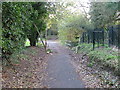
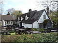
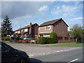
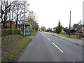
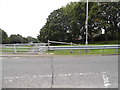
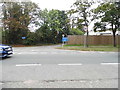
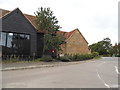
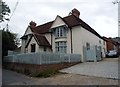
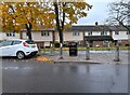
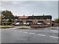
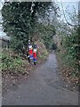
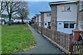
21 photos from this area
Area Information
Key information about the SG2 8TE including its size, population, and administrative classification.
- Area Type
- Postcode
- Area Size
- 2.1 hectares
- Population
- 1540
- Population Density
- 1072 people/km²
House Prices in SG2 8TE
55
Properties
£213,277
Average Sold Price
£31,500
Lowest Price
£490,000
Highest Price
Showing 55 properties
| Address | Type | Beds | Baths | Last Sale Price | Last Sale Date | |
|---|---|---|---|---|---|---|
| 94 Blenheim Way, Stevenage, SG2 8TE | Semi-detached | 3 | 2 | £335,000 | Jul 2025 | |
| 78 Blenheim Way, Stevenage, SG2 8TE | Terraced | 3 | 1 | £330,000 | May 2025 | |
| 54 Blenheim Way, Stevenage, SG2 8TE | Semi-detached | 4 | 2 | £419,500 | Mar 2024 | |
| 66 Blenheim Way, Stevenage, SG2 8TE | house | - | - | £345,000 | Dec 2023 | |
| 20 Blenheim Way, Stevenage, SG2 8TE | Flat | - | - | £150,000 | Sep 2023 | |
| 98 Blenheim Way, Stevenage, SG2 8TE | Terraced | 4 | 2 | £490,000 | Dec 2022 | |
| 108 Blenheim Way, Stevenage, SG2 8TE | house | - | - | £385,000 | Dec 2021 | |
| 86 Blenheim Way, Stevenage, SG2 8TE | house | - | - | £325,000 | Sep 2021 | |
| 68 Blenheim Way, Stevenage, SG2 8TE | Terraced | 3 | 2 | £310,000 | Nov 2019 | |
| 72 Blenheim Way, Stevenage, SG2 8TE | house | - | - | £305,000 | Apr 2019 |
Page 1 of 6
Energy Efficiency in SG2 8TE
Amenities
Schools
| Rank | School | Type | Entry gender | Ages |
|---|
Explore more schools in this area
Go to Schools tabDemographics
Household Size
Family (3-5 people)
most common
Accommodation Type
Houses
most common
Tenure
76
majority
Ethnic Group
White
most common
Religion
N/A
most common
Household Composition
N/A
most common
Age
47
median
Adults (30-64 years)
most common
Household Deprivation
N/A
with no deprivation
NS-SEC
38
in Lower managerial occupations
Explore more demographic insights in this area
Go to Demographics tabPlanning
Planning Constraints
- Flood RiskPremium
- Ramsar Wetland SitesPremium
- Area of Outstanding Natural BeautyPremium
- Protected Nature ReservePremium
- Protected WoodlandPremium