Area Overview for SG2 8EZ
Photos of SG2 8EZ
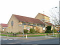
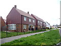
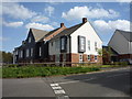
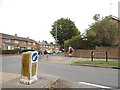
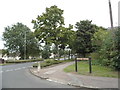
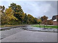
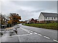
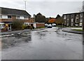
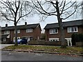
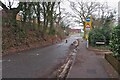
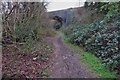
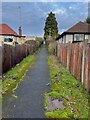
19 photos from this area
Area Information
Key information about the SG2 8EZ including its size, population, and administrative classification.
- Area Type
- Postcode
- Area Size
- 7186 m²
- Population
- 1598
- Population Density
- 6464 people/km²
House Prices in SG2 8EZ
21
Properties
£186,708
Average Sold Price
£135,000
Lowest Price
£308,000
Highest Price
Showing 21 properties
| Address | Type | Beds | Baths | Last Sale Price | Last Sale Date | |
|---|---|---|---|---|---|---|
| 345 Broadwater Crescent, Stevenage, SG2 8EZ | house | 3 | 1 | £308,000 | Apr 2024 | |
| 361 Broadwater Crescent, Stevenage, SG2 8EZ | Flat | 1 | 1 | £153,500 | Nov 2017 | |
| 350 Broadwater Crescent, Stevenage, SG2 8EZ | Terraced | 3 | - | £190,000 | Jun 2015 | |
| 349 Broadwater Crescent, Stevenage, SG2 8EZ | house | - | - | £135,000 | Jul 2013 | |
| 348 Broadwater Crescent, Stevenage, SG2 8EZ | Terraced | 3 | 1 | £171,750 | Oct 2010 | |
| 352 Broadwater Crescent, Stevenage, SG2 8EZ | Terraced | - | - | £162,000 | Mar 2007 | |
| 346 Broadwater Crescent, Stevenage, SG2 8EZ | house | - | - | - | - | |
| 353 Broadwater Crescent, Stevenage, SG2 8EZ | Flat | - | - | - | - | |
| 340 Broadwater Crescent, Stevenage, SG2 8EZ | house | - | - | - | - | |
| 355 Broadwater Crescent, Stevenage, SG2 8EZ | Flat | - | - | - | - |
Page 1 of 3
Energy Efficiency in SG2 8EZ
Amenities
Schools
| Rank | School | Type | Entry gender | Ages |
|---|
Explore more schools in this area
Go to Schools tabDemographics
Household Size
Family (3-5 people)
most common
Accommodation Type
Houses
most common
Tenure
60
majority
Ethnic Group
White
most common
Religion
N/A
most common
Household Composition
N/A
most common
Age
47
median
Adults (30-64 years)
most common
Household Deprivation
N/A
with no deprivation
NS-SEC
28
in Lower managerial occupations
Explore more demographic insights in this area
Go to Demographics tabPlanning
Planning Constraints
- Flood RiskPremium
- Ramsar Wetland SitesPremium
- Area of Outstanding Natural BeautyPremium
- Protected Nature ReservePremium
- Protected WoodlandPremium