Area Overview for SG2 8AF
Photos of SG2 8AF
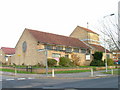
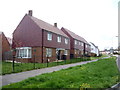
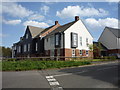
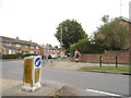
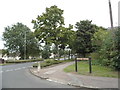
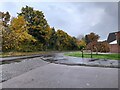
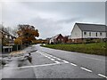
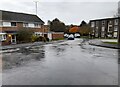
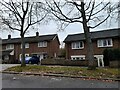
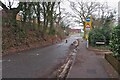
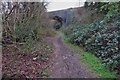
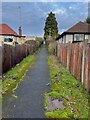
19 photos from this area
Area Information
Key information about the SG2 8AF including its size, population, and administrative classification.
- Area Type
- Postcode
- Area Size
- 5369 m²
- Population
- 1601
- Population Density
- 3045 people/km²
House Prices in SG2 8AF
21
Properties
£219,075
Average Sold Price
£139,000
Lowest Price
£285,000
Highest Price
Showing 21 properties
| Address | Type | Beds | Baths | Last Sale Price | Last Sale Date | |
|---|---|---|---|---|---|---|
| 67 Marymead Drive, Stevenage, SG2 8AF | Retail | 3 | 1 | £285,000 | May 2022 | |
| 96 Marymead Drive, Stevenage, SG2 8AF | house | - | - | £277,500 | Jan 2017 | |
| 102 Marymead Drive, Stevenage, SG2 8AF | house | - | - | £265,000 | Jun 2016 | |
| 100 Marymead Drive, Stevenage, SG2 8AF | Terraced | 3 | - | £158,000 | Apr 2013 | |
| 92 Marymead Drive, Stevenage, SG2 8AF | Terraced | 3 | - | £189,950 | Nov 2012 | |
| 59 Marymead Drive, Stevenage, SG2 8AF | Terraced | - | - | £139,000 | Dec 2003 | |
| 90 Marymead Drive, Stevenage, SG2 8AF | Terraced | 3 | 1 | - | - | |
| 82A Marymead Drive, Stevenage, SG2 8AF | Flat | - | - | - | - | |
| 65 Marymead Drive, Stevenage, SG2 8AF | house | - | - | - | - | |
| 94 Marymead Drive, Stevenage, SG2 8AF | house | - | - | - | - |
Page 1 of 3
Energy Efficiency in SG2 8AF
Amenities
Schools
| Rank | School | Type | Entry gender | Ages |
|---|
Explore more schools in this area
Go to Schools tabDemographics
Household Size
Family (3-5 people)
most common
Accommodation Type
Houses
most common
Tenure
71
majority
Ethnic Group
White
most common
Religion
N/A
most common
Household Composition
N/A
most common
Age
47
median
Adults (30-64 years)
most common
Household Deprivation
N/A
with no deprivation
NS-SEC
36
in Lower managerial occupations
Explore more demographic insights in this area
Go to Demographics tabPlanning
Planning Constraints
- Flood RiskPremium
- Ramsar Wetland SitesPremium
- Area of Outstanding Natural BeautyPremium
- Protected Nature ReservePremium
- Protected WoodlandPremium