Area Overview for SG19 2HH
Photos of SG19 2HH
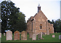
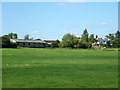
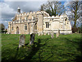
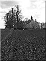

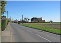
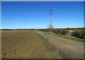
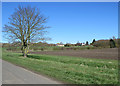
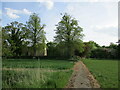
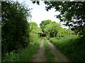
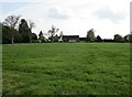
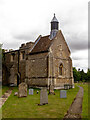
35 photos from this area
Area Information
Key information about the SG19 2HH including its size, population, and administrative classification.
- Area Type
- Postcode
- Area Size
- 1.1 km²
- Population
- 1167
- Population Density
- 40 people/km²
House Prices in SG19 2HH
23
Properties
£382,625
Average Sold Price
£58,000
Lowest Price
£595,000
Highest Price
Showing 23 properties
| Address | Type | Beds | Baths | Last Sale Price | Last Sale Date | |
|---|---|---|---|---|---|---|
| 12 High Street, Eyeworth, SG19 2HH | Semi-detached | 4 | 3 | £460,000 | Mar 2024 | |
| Hoe Cottage, 2C High Street, Eyeworth, SG19 2HH | Detached | 3 | - | £540,000 | Nov 2018 | |
| Ongley House, 13 High Street, Eyeworth, SG19 2HH | house | 4 | - | £395,000 | Sep 2011 | |
| Paddock View, 2B High Street, Eyeworth, SG19 2HH | Detached | 4 | 2 | £343,000 | Aug 2011 | |
| 11 High Street, Eyeworth, SG19 2HH | Semi-detached | - | - | £250,000 | Jul 2009 | |
| 6A High Street, Eyeworth, SG19 2HH | house | - | - | £420,000 | Apr 2004 | |
| The Willows, 4A High Street, Eyeworth, SG19 2HH | Detached | - | - | £595,000 | Aug 2001 | |
| Meadowview, 2A High Street, Eyeworth, SG19 2HH | Detached | - | - | £58,000 | Apr 1995 | |
| 2 High Street, Eyeworth, SG19 2HH | Detached | 4 | - | - | - | |
| Alltech Counting And Biometrics Ltd, Unit 2 Tithe Barn, Church Farm, High Street, Eyeworth, SG19 2HH | Office | - | - | - | - |
Page 1 of 3
Energy Efficiency in SG19 2HH
Amenities
Schools
| Rank | School | Type | Entry gender | Ages |
|---|
Explore more schools in this area
Go to Schools tabDemographics
Household Size
Two person
most common
Accommodation Type
Houses
most common
Tenure
72
majority
Ethnic Group
White
most common
Religion
N/A
most common
Household Composition
N/A
most common
Age
47
median
Adults (30-64 years)
most common
Household Deprivation
N/A
with no deprivation
NS-SEC
41
in Lower managerial occupations
Explore more demographic insights in this area
Go to Demographics tabPlanning
Planning Constraints
- Flood RiskPremium
- Ramsar Wetland SitesPremium
- Area of Outstanding Natural BeautyPremium
- Protected Nature ReservePremium
- Protected WoodlandPremium