Area Overview for SG19 1EL
Photos of SG19 1EL
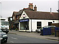
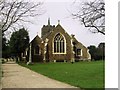

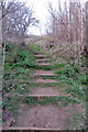
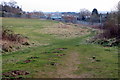

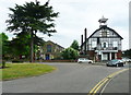
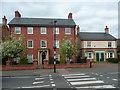
64 photos from this area
Area Information
Key information about the SG19 1EL including its size, population, and administrative classification.
- Area Type
- Postcode
- Area Size
- 2.4 hectares
- Population
- 1629
- Population Density
- 364 people/km²
House Prices in SG19 1EL
19
Properties
£417,440
Average Sold Price
£82,500
Lowest Price
£900,000
Highest Price
Showing 19 properties
| Address | Type | Beds | Baths | Last Sale Price | Last Sale Date | |
|---|---|---|---|---|---|---|
| 12A Bedford Road, Sandy, SG19 1EL | house | - | - | £900,000 | Sep 2021 | |
| 10 Bedford Road, Sandy, SG19 1EL | Semi-detached | 3 | 1 | £336,950 | Apr 2021 | |
| Sheridan House, 8 Bedford Road, Sandy, SG19 1EL | hospital_care_home | - | - | £900,000 | Apr 2019 | |
| 20 Bedford Road, Sandy, SG19 1EL | Semi-detached | 3 | 1 | £205,000 | Jun 2014 | |
| 14 Bedford Road, Sandy, SG19 1EL | Detached | 4 | - | £595,000 | Jul 2013 | |
| 22 Bedford Road, Sandy, SG19 1EL | house | - | - | £260,000 | Apr 2010 | |
| 15 Bedford Road, Sandy, SG19 1EL | house | - | - | £335,000 | Dec 2006 | |
| 12 Bedford Road, Sandy, SG19 1EL | house | - | - | £209,950 | Dec 2004 | |
| 8A Bedford Road, Sandy, SG19 1EL | Detached | 1 | 1 | £350,000 | Feb 2003 | |
| 18 Bedford Road, Sandy, SG19 1EL | house | - | - | £82,500 | Aug 1998 |
Page 1 of 2
Energy Efficiency in SG19 1EL
Amenities
Schools
| Rank | School | Type | Entry gender | Ages |
|---|
Explore more schools in this area
Go to Schools tabDemographics
Household Size
Two person
most common
Accommodation Type
Houses
most common
Tenure
68
majority
Ethnic Group
White
most common
Religion
N/A
most common
Household Composition
N/A
most common
Age
47
median
Adults (30-64 years)
most common
Household Deprivation
N/A
with no deprivation
NS-SEC
36
in Lower managerial occupations
Explore more demographic insights in this area
Go to Demographics tabPlanning
Planning Constraints
- Flood RiskPremium
- Ramsar Wetland SitesPremium
- Area of Outstanding Natural BeautyPremium
- Protected Nature ReservePremium
- Protected WoodlandPremium