Area Overview for SG18 9UR
Photos of SG18 9UR
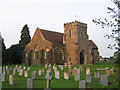
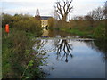
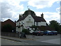
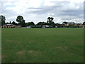
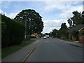
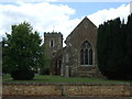
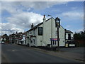
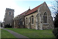
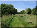
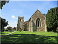
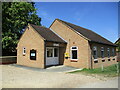
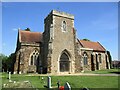
26 photos from this area
Area Information
Key information about the SG18 9UR including its size, population, and administrative classification.
- Area Type
- Postcode
- Area Size
- 3.6 hectares
- Population
- 1878
- Population Density
- 581 people/km²
House Prices in SG18 9UR
17
Properties
£487,868
Average Sold Price
£126,000
Lowest Price
£1,150,000
Highest Price
Showing 17 properties
| Address | Type | Beds | Baths | Last Sale Price | Last Sale Date | |
|---|---|---|---|---|---|---|
| 19 Mill Meadow, Langford, SG18 9UR | house | 5 | 3 | £850,000 | Apr 2025 | |
| 11 Mill Meadow, Langford, SG18 9UR | house | - | - | £1,150,000 | Jun 2023 | |
| 6 Mill Meadow, Langford, SG18 9UR | Detached | 5 | 3 | £835,000 | Apr 2021 | |
| 8 Mill Meadow, Langford, SG18 9UR | house | - | - | £590,000 | Feb 2020 | |
| 21 Mill Meadow, Langford, SG18 9UR | Detached | 5 | 2 | £495,000 | Dec 2014 | |
| 4 Mill Meadow, Langford, SG18 9UR | Detached | 4 | - | £455,000 | Oct 2013 | |
| 15 Mill Meadow, Langford, SG18 9UR | house | - | - | £490,000 | Aug 2011 | |
| 17 Mill Meadow, Langford, SG18 9UR | house | 4 | - | £530,000 | May 2008 | |
| 5 Mill Meadow, Langford, SG18 9UR | Detached | 4 | 2 | £700,000 | Nov 2007 | |
| 9 Mill Meadow, Langford, SG18 9UR | house | - | - | £522,000 | Aug 2007 |
Page 1 of 2
Energy Efficiency in SG18 9UR
Amenities
Schools
| Rank | School | Type | Entry gender | Ages |
|---|
Explore more schools in this area
Go to Schools tabDemographics
Household Size
Two person
most common
Accommodation Type
Houses
most common
Tenure
77
majority
Ethnic Group
White
most common
Religion
N/A
most common
Household Composition
N/A
most common
Age
47
median
Adults (30-64 years)
most common
Household Deprivation
N/A
with no deprivation
NS-SEC
39
in Lower managerial occupations
Explore more demographic insights in this area
Go to Demographics tabPlanning
Planning Constraints
- Flood RiskPremium
- Ramsar Wetland SitesPremium
- Area of Outstanding Natural BeautyPremium
- Protected Nature ReservePremium
- Protected WoodlandPremium