Area Overview for SG18 8AY
Photos of SG18 8AY
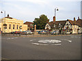
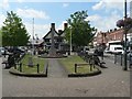
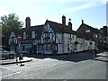
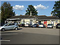
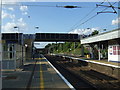
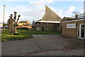
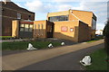
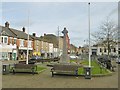

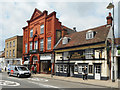
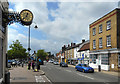
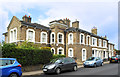
59 photos from this area
Area Information
Key information about the SG18 8AY including its size, population, and administrative classification.
- Area Type
- Postcode
- Area Size
- 4776 m²
- Population
- 1886
- Population Density
- 2820 people/km²
House Prices in SG18 8AY
9
Properties
£274,357
Average Sold Price
£235,000
Lowest Price
£310,000
Highest Price
Showing 9 properties
| Address | Type | Beds | Baths | Last Sale Price | Last Sale Date | |
|---|---|---|---|---|---|---|
| 39 Bonds Lane, Biggleswade, SG18 8AY | Flat | 2 | 2 | £245,000 | Jun 2025 | |
| 43 Bonds Lane, Biggleswade, SG18 8AY | Flat | - | - | £252,500 | Jun 2024 | |
| 37 Bonds Lane, Biggleswade, SG18 8AY | house | - | - | £285,000 | Sep 2020 | |
| 35 Bonds Lane, Biggleswade, SG18 8AY | house | - | - | £310,000 | Feb 2020 | |
| 33 Bonds Lane, Biggleswade, SG18 8AY | Detached | 3 | 1 | £288,000 | Dec 2019 | |
| 31 Bonds Lane, Biggleswade, SG18 8AY | house | - | - | £305,000 | Nov 2019 | |
| 41 Bonds Lane, Biggleswade, SG18 8AY | Flat | - | - | £235,000 | Jul 2019 | |
| Warehouse, Bonds Lane, Biggleswade, SG18 8AY | warehouse | - | - | - | - | |
| 21 Bonds Lane, Biggleswade, SG18 8AY | restaurant_cafe | - | - | - | - |
Energy Efficiency in SG18 8AY
Amenities
Schools
| Rank | School | Type | Entry gender | Ages |
|---|
Explore more schools in this area
Go to Schools tabDemographics
Household Size
One person
most common
Accommodation Type
Houses
most common
Tenure
60
majority
Ethnic Group
White
most common
Religion
N/A
most common
Household Composition
N/A
most common
Age
47
median
Adults (30-64 years)
most common
Household Deprivation
N/A
with no deprivation
NS-SEC
35
in Lower managerial occupations
Explore more demographic insights in this area
Go to Demographics tabPlanning
Planning Constraints
- Flood RiskPremium
- Ramsar Wetland SitesPremium
- Area of Outstanding Natural BeautyPremium
- Protected Nature ReservePremium
- Protected WoodlandPremium