Area Overview for SG18 0HD
Photos of SG18 0HD
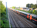
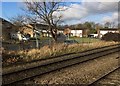
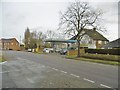
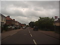
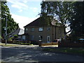
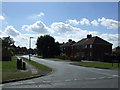
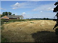
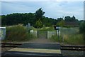
20 photos from this area
Area Information
Key information about the SG18 0HD including its size, population, and administrative classification.
- Area Type
- Postcode
- Area Size
- 8.5 hectares
- Population
- 1264
- Population Density
- 538 people/km²
House Prices in SG18 0HD
39
Properties
£225,682
Average Sold Price
£75,500
Lowest Price
£335,000
Highest Price
Showing 39 properties
| Address | Type | Beds | Baths | Last Sale Price | Last Sale Date | |
|---|---|---|---|---|---|---|
| 44 Northfields, Biggleswade, SG18 0HD | Terraced | 3 | 1 | £315,000 | Oct 2025 | |
| 28 Northfields, Biggleswade, SG18 0HD | Terraced | 4 | 2 | £335,000 | Jul 2024 | |
| 20 Northfields, Biggleswade, SG18 0HD | house | - | - | £246,000 | Sep 2018 | |
| 34 Northfields, Biggleswade, SG18 0HD | Terraced | 3 | 1 | £255,000 | Mar 2018 | |
| 46 Northfields, Biggleswade, SG18 0HD | house | - | - | £300,000 | Oct 2017 | |
| 30 Northfields, Biggleswade, SG18 0HD | house | 3 | 1 | £270,000 | Sep 2017 | |
| 24 Northfields, Biggleswade, SG18 0HD | house | 3 | 1 | £275,000 | May 2017 | |
| 16 Northfields, Biggleswade, SG18 0HD | house | 3 | - | £158,000 | Jan 2014 | |
| 26 Northfields, Biggleswade, SG18 0HD | house | - | - | £168,000 | Jul 2013 | |
| 40 Northfields, Biggleswade, SG18 0HD | Terraced | - | - | £85,000 | Oct 2000 |
Page 1 of 4
Energy Efficiency in SG18 0HD
Amenities
Schools
| Rank | School | Type | Entry gender | Ages |
|---|
Explore more schools in this area
Go to Schools tabDemographics
Household Size
Family (3-5 people)
most common
Accommodation Type
Houses
most common
Tenure
83
majority
Ethnic Group
White
most common
Religion
N/A
most common
Household Composition
N/A
most common
Age
47
median
Adults (30-64 years)
most common
Household Deprivation
N/A
with no deprivation
NS-SEC
33
in Lower managerial occupations
Explore more demographic insights in this area
Go to Demographics tabPlanning
Planning Constraints
- Flood RiskPremium
- Ramsar Wetland SitesPremium
- Area of Outstanding Natural BeautyPremium
- Protected Nature ReservePremium
- Protected WoodlandPremium