Area Overview for SG17 5QL
Photos of SG17 5QL
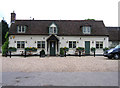
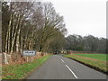
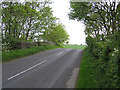
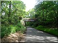
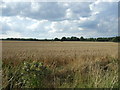
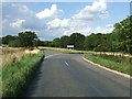
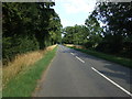
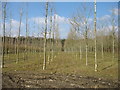

23 photos from this area
Area Information
Key information about the SG17 5QL including its size, population, and administrative classification.
- Area Type
- Postcode
- Area Size
- 1.1 km²
- Population
- 1508
- Population Density
- 42 people/km²
House Prices in SG17 5QL
14
Properties
£305,699
Average Sold Price
£194,500
Lowest Price
£400,000
Highest Price
Showing 14 properties
| Address | Type | Beds | Baths | Last Sale Price | Last Sale Date | |
|---|---|---|---|---|---|---|
| 130 Ireland, Shefford, SG17 5QL | house | 2 | - | £359,000 | Aug 2022 | |
| 132 Ireland, Shefford, SG17 5QL | house | - | - | £400,000 | Feb 2021 | |
| 131 Ireland, Shefford, SG17 5QL | Terraced | 2 | 1 | £325,000 | Dec 2017 | |
| 128 Ireland, Shefford, SG17 5QL | Cottage | 2 | 1 | £249,995 | Aug 2006 | |
| 129 Ireland, Shefford, SG17 5QL | Detached | 2 | 1 | £194,500 | Jan 2004 | |
| The Flat, The Black Horse, Ireland, Shefford, SG17 5QL | Flat | - | - | - | - | |
| Shooting Range, Ireland, Shefford, SG17 5QL | Leisure | - | - | - | - | |
| Moor Hall, Ireland, Shefford, SG17 5QL | house | - | - | - | - | |
| The Lodge, Ireland, Shefford, SG17 5QL | Bungalow | - | - | - | - | |
| 136 Ireland, Shefford, SG17 5QL | house | - | - | - | - |
Page 1 of 2
Energy Efficiency in SG17 5QL
Amenities
Schools
| Rank | School | Type | Entry gender | Ages |
|---|
Explore more schools in this area
Go to Schools tabDemographics
Household Size
Two person
most common
Accommodation Type
Houses
most common
Tenure
49
majority
Ethnic Group
White
most common
Religion
N/A
most common
Household Composition
N/A
most common
Age
47
median
Adults (30-64 years)
most common
Household Deprivation
N/A
with no deprivation
NS-SEC
38
in Lower managerial occupations
Explore more demographic insights in this area
Go to Demographics tabPlanning
Planning Constraints
- Flood RiskPremium
- Ramsar Wetland SitesPremium
- Area of Outstanding Natural BeautyPremium
- Protected Nature ReservePremium
- Protected WoodlandPremium