Area Overview for SG17 5HT
Photos of SG17 5HT
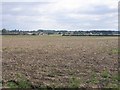

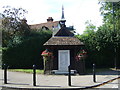
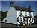
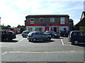
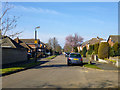
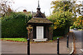
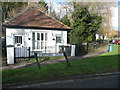
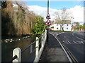
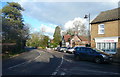
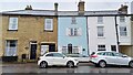
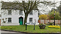
22 photos from this area
Area Information
Key information about the SG17 5HT including its size, population, and administrative classification.
- Area Type
- Postcode
- Area Size
- 8013 m²
- Population
- 1525
- Population Density
- 821 people/km²
House Prices in SG17 5HT
27
Properties
£249,093
Average Sold Price
£67,500
Lowest Price
£440,000
Highest Price
Showing 27 properties
| Address | Type | Beds | Baths | Last Sale Price | Last Sale Date | |
|---|---|---|---|---|---|---|
| 24 Newis Crescent, Clifton, SG17 5HT | Semi-detached | 3 | 1 | £335,000 | Dec 2024 | |
| 30 Newis Crescent, Clifton, SG17 5HT | Semi-detached | 3 | 1 | £308,000 | Jul 2024 | |
| 8 Newis Crescent, Clifton, SG17 5HT | house | - | - | £307,000 | Apr 2023 | |
| 4 Newis Crescent, Clifton, SG17 5HT | house | - | - | £440,000 | Nov 2022 | |
| 1 Newis Crescent, Clifton, SG17 5HT | house | - | - | £330,000 | Oct 2022 | |
| 14 Newis Crescent, Clifton, SG17 5HT | house | - | - | £380,000 | May 2022 | |
| 22 Newis Crescent, Clifton, SG17 5HT | Semi-detached | 3 | 1 | £250,000 | Dec 2016 | |
| 28 Newis Crescent, Clifton, SG17 5HT | house | - | - | £232,000 | Oct 2015 | |
| 7 Newis Crescent, Clifton, SG17 5HT | Semi-detached | 3 | 1 | £247,500 | Jul 2015 | |
| 9 Newis Crescent, Clifton, SG17 5HT | Semi-detached | 3 | - | £208,000 | Sep 2014 |
Page 1 of 3
Energy Efficiency in SG17 5HT
Amenities
Schools
| Rank | School | Type | Entry gender | Ages |
|---|
Explore more schools in this area
Go to Schools tabDemographics
Household Size
Family (3-5 people)
most common
Accommodation Type
Houses
most common
Tenure
67
majority
Ethnic Group
White
most common
Religion
N/A
most common
Household Composition
N/A
most common
Age
47
median
Adults (30-64 years)
most common
Household Deprivation
N/A
with no deprivation
NS-SEC
32
in Lower managerial occupations
Explore more demographic insights in this area
Go to Demographics tabPlanning
Planning Constraints
- Flood RiskPremium
- Ramsar Wetland SitesPremium
- Area of Outstanding Natural BeautyPremium
- Protected Nature ReservePremium
- Protected WoodlandPremium