Area Overview for SG17 5HD
Photos of SG17 5HD
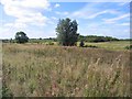
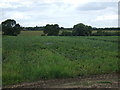
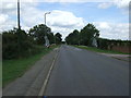
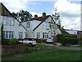
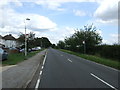
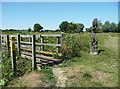
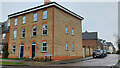
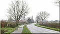
12 photos from this area
Area Information
Key information about the SG17 5HD including its size, population, and administrative classification.
- Area Type
- Postcode
- Area Size
- 14.0 hectares
- Population
- 1525
- Population Density
- 821 people/km²
House Prices in SG17 5HD
62
Properties
£147,320
Average Sold Price
£39,000
Lowest Price
£280,000
Highest Price
Showing 62 properties
| Address | Type | Beds | Baths | Last Sale Price | Last Sale Date | |
|---|---|---|---|---|---|---|
| 57 Bilberry Road, Clifton, SG17 5HD | Flat | - | - | £160,000 | Oct 2025 | |
| 68 Bilberry Road, Clifton, SG17 5HD | Flat | 1 | 1 | £120,000 | Jun 2025 | |
| 42 Bilberry Road, Clifton, SG17 5HD | house | 3 | - | £247,500 | Jul 2022 | |
| 45 Bilberry Road, Clifton, SG17 5HD | Terraced | 3 | - | £280,000 | Jul 2022 | |
| 52 Bilberry Road, Clifton, SG17 5HD | house | - | - | £260,000 | Mar 2021 | |
| 71 Bilberry Road, Clifton, SG17 5HD | Maisonette | 1 | 1 | £135,000 | Mar 2019 | |
| 66 Bilberry Road, Clifton, SG17 5HD | Flat | 1 | - | £90,000 | Mar 2007 | |
| 82 Bilberry Road, Clifton, SG17 5HD | Flat | - | - | £86,700 | May 2005 | |
| 48 Bilberry Road, Clifton, SG17 5HD | house | - | - | £55,000 | Oct 1996 | |
| 62 Bilberry Road, Clifton, SG17 5HD | Flat | - | - | £39,000 | Mar 1996 |
Page 1 of 7
Energy Efficiency in SG17 5HD
Amenities
Schools
| Rank | School | Type | Entry gender | Ages |
|---|
Explore more schools in this area
Go to Schools tabDemographics
Household Size
Family (3-5 people)
most common
Accommodation Type
Houses
most common
Tenure
67
majority
Ethnic Group
White
most common
Religion
N/A
most common
Household Composition
N/A
most common
Age
47
median
Adults (30-64 years)
most common
Household Deprivation
N/A
with no deprivation
NS-SEC
32
in Lower managerial occupations
Explore more demographic insights in this area
Go to Demographics tabPlanning
Planning Constraints
- Flood RiskPremium
- Ramsar Wetland SitesPremium
- Area of Outstanding Natural BeautyPremium
- Protected Nature ReservePremium
- Protected WoodlandPremium