Area Overview for SG17 5ES
Photos of SG17 5ES

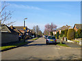
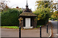
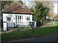
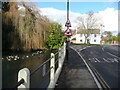
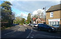
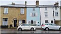
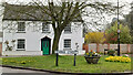
22 photos from this area
Area Information
Key information about the SG17 5ES including its size, population, and administrative classification.
- Area Type
- Postcode
- Area Size
- 1.4 hectares
- Population
- 1525
- Population Density
- 821 people/km²
House Prices in SG17 5ES
20
Properties
£284,077
Average Sold Price
£60,000
Lowest Price
£740,000
Highest Price
Showing 20 properties
| Address | Type | Beds | Baths | Last Sale Price | Last Sale Date | |
|---|---|---|---|---|---|---|
| 9 Church Street, Clifton, SG17 5ES | house | 4 | 2 | £713,000 | Feb 2024 | |
| 3 Church Street, Clifton, SG17 5ES | Terraced | 2 | 1 | £320,000 | Jul 2023 | |
| Folkestone House, 13 Church Street, Clifton, SG17 5ES | Retail | 5 | 1 | £740,000 | Apr 2022 | |
| 2A Church Street, Clifton, SG17 5ES | house | 3 | - | £202,500 | Sep 2020 | |
| 2 Church Street, Clifton, SG17 5ES | house | - | - | £220,000 | Aug 2019 | |
| 10 Church Street, Clifton, SG17 5ES | Terraced | 3 | 2 | £340,000 | Nov 2018 | |
| 5 Church Street, Clifton, SG17 5ES | house | - | - | £307,500 | Jan 2011 | |
| Lavender Cottage, 1 Church Street, Clifton, SG17 5ES | Semi-detached | 2 | 1 | £230,000 | Jul 2010 | |
| 8 Church Street, Clifton, SG17 5ES | Terraced | - | - | £180,000 | Nov 2005 | |
| 6 Church Street, Clifton, SG17 5ES | Terraced | - | - | £60,000 | Jun 2001 |
Page 1 of 2
Energy Efficiency in SG17 5ES
Amenities
Schools
| Rank | School | Type | Entry gender | Ages |
|---|
Explore more schools in this area
Go to Schools tabDemographics
Household Size
Family (3-5 people)
most common
Accommodation Type
Houses
most common
Tenure
67
majority
Ethnic Group
White
most common
Religion
N/A
most common
Household Composition
N/A
most common
Age
47
median
Adults (30-64 years)
most common
Household Deprivation
N/A
with no deprivation
NS-SEC
32
in Lower managerial occupations
Explore more demographic insights in this area
Go to Demographics tabPlanning
Planning Constraints
- Flood RiskPremium
- Ramsar Wetland SitesPremium
- Area of Outstanding Natural BeautyPremium
- Protected Nature ReservePremium
- Protected WoodlandPremium