Area Overview for SG16 6BS
Photos of SG16 6BS
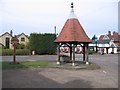
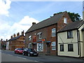
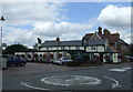
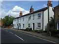
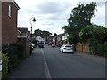
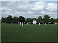
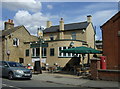
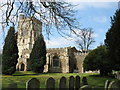
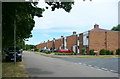
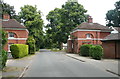
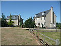
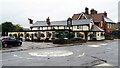
32 photos from this area
Area Information
Key information about the SG16 6BS including its size, population, and administrative classification.
- Area Type
- Postcode
- Area Size
- 1.7 hectares
- Population
- 2025
- Population Density
- 571 people/km²
House Prices in SG16 6BS
46
Properties
£277,643
Average Sold Price
£49,500
Lowest Price
£746,000
Highest Price
Showing 46 properties
| Address | Type | Beds | Baths | Last Sale Price | Last Sale Date | |
|---|---|---|---|---|---|---|
| 6A High Street, Henlow, SG16 6BS | Terraced | 1 | 1 | £210,000 | May 2025 | |
| 10 High Street, Henlow, SG16 6BS | Terraced | 2 | 1 | £355,000 | Mar 2025 | |
| 11 High Street, Henlow, SG16 6BS | Semi-detached | 5 | - | £488,000 | Jul 2022 | |
| 19 High Street, Henlow, SG16 6BS | house | - | - | £746,000 | Jan 2022 | |
| The Haven, 6D High Street, Henlow, SG16 6BS | house | - | - | £420,000 | Jan 2021 | |
| 28 High Street, Henlow, SG16 6BS | Terraced | 2 | 1 | £280,000 | Nov 2020 | |
| 25 High Street, Henlow, SG16 6BS | Terraced | 2 | 1 | £285,000 | Oct 2020 | |
| 12 High Street, Henlow, SG16 6BS | house | - | - | £265,000 | Sep 2020 | |
| 14 High Street, Henlow, SG16 6BS | Detached | 5 | - | £245,000 | Nov 2018 | |
| 30 High Street, Henlow, SG16 6BS | house | - | - | £470,000 | Oct 2017 |
Page 1 of 5
Energy Efficiency in SG16 6BS
Amenities
Schools
| Rank | School | Type | Entry gender | Ages |
|---|
Explore more schools in this area
Go to Schools tabDemographics
Household Size
Family (3-5 people)
most common
Accommodation Type
Houses
most common
Tenure
71
majority
Ethnic Group
White
most common
Religion
N/A
most common
Household Composition
N/A
most common
Age
47
median
Adults (30-64 years)
most common
Household Deprivation
N/A
with no deprivation
NS-SEC
40
in Lower managerial occupations
Explore more demographic insights in this area
Go to Demographics tabPlanning
Planning Constraints
- Flood RiskPremium
- Ramsar Wetland SitesPremium
- Area of Outstanding Natural BeautyPremium
- Protected Nature ReservePremium
- Protected WoodlandPremium