Area Overview for SG16 6BH
Photos of SG16 6BH
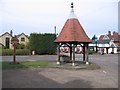
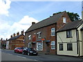
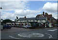
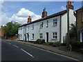
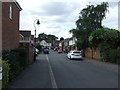
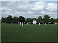
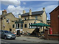
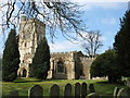
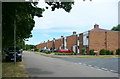
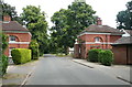
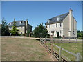
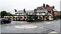
32 photos from this area
Area Information
Key information about the SG16 6BH including its size, population, and administrative classification.
- Area Type
- Postcode
- Area Size
- 4.4 hectares
- Population
- 2025
- Population Density
- 571 people/km²
House Prices in SG16 6BH
21
Properties
£259,874
Average Sold Price
£105,000
Lowest Price
£480,000
Highest Price
Showing 21 properties
| Address | Type | Beds | Baths | Last Sale Price | Last Sale Date | |
|---|---|---|---|---|---|---|
| 40 Clifton Road, Henlow, SG16 6BH | house | - | - | £480,000 | Jan 2021 | |
| 1A Clifton Road, Henlow, SG16 6BH | house | 3 | - | £362,500 | Jul 2019 | |
| 22 Clifton Road, Henlow, SG16 6BH | Semi-detached | 4 | - | £383,000 | Feb 2015 | |
| 26 Clifton Road, Henlow, SG16 6BH | house | - | - | £230,000 | Nov 2010 | |
| Sylton, Clifton Road, Henlow, SG16 6BH | Retail | 3 | - | £224,000 | Apr 2006 | |
| 38 Clifton Road, Henlow, SG16 6BH | house | - | - | £182,500 | Nov 2005 | |
| 30 Clifton Road, Henlow, SG16 6BH | house | - | - | £111,995 | May 2001 | |
| 28 Clifton Road, Henlow, SG16 6BH | house | - | - | £105,000 | Aug 1999 | |
| 12 Clifton Road, Henlow, SG16 6BH | house | - | - | - | - | |
| 22A Clifton Road, Henlow, SG16 6BH | Bungalow | - | - | - | - |
Page 1 of 3
Energy Efficiency in SG16 6BH
Amenities
Schools
| Rank | School | Type | Entry gender | Ages |
|---|
Explore more schools in this area
Go to Schools tabDemographics
Household Size
Family (3-5 people)
most common
Accommodation Type
Houses
most common
Tenure
71
majority
Ethnic Group
White
most common
Religion
N/A
most common
Household Composition
N/A
most common
Age
47
median
Adults (30-64 years)
most common
Household Deprivation
N/A
with no deprivation
NS-SEC
40
in Lower managerial occupations
Explore more demographic insights in this area
Go to Demographics tabPlanning
Planning Constraints
- Flood RiskPremium
- Ramsar Wetland SitesPremium
- Area of Outstanding Natural BeautyPremium
- Protected Nature ReservePremium
- Protected WoodlandPremium