Area Overview for SG15 6SL
Photos of SG15 6SL
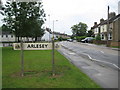
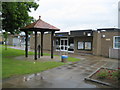
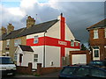
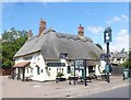
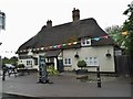
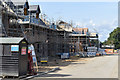
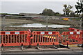
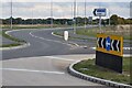
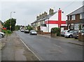
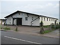
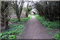
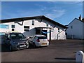
19 photos from this area
Area Information
Key information about the SG15 6SL including its size, population, and administrative classification.
- Area Type
- Postcode
- Area Size
- 1.9 hectares
- Population
- 2016
- Population Density
- 1042 people/km²
House Prices in SG15 6SL
27
Properties
£263,934
Average Sold Price
£69,950
Lowest Price
£475,000
Highest Price
Showing 27 properties
| Address | Type | Beds | Baths | Last Sale Price | Last Sale Date | |
|---|---|---|---|---|---|---|
| 40 High Street, Arlesey, SG15 6SL | Terraced | 2 | 1 | £255,000 | Jul 2025 | |
| 44 High Street, Arlesey, SG15 6SL | Terraced | 2 | 1 | £245,500 | Nov 2024 | |
| 80 High Street, Arlesey, SG15 6SL | house | - | - | £304,500 | Jul 2023 | |
| 70 High Street, Arlesey, SG15 6SL | Terraced | 2 | 1 | £345,000 | Apr 2023 | |
| 48 High Street, Arlesey, SG15 6SL | house | - | - | £385,000 | Mar 2023 | |
| 42 High Street, Arlesey, SG15 6SL | house | - | - | £227,000 | Jan 2022 | |
| 74 High Street, Arlesey, SG15 6SL | house | - | - | £320,000 | Sep 2021 | |
| 76 High Street, Arlesey, SG15 6SL | house | - | - | £270,000 | Aug 2020 | |
| 46 High Street, Arlesey, SG15 6SL | Cottage | 2 | 1 | £230,000 | Aug 2020 | |
| 150 High Street, Arlesey, SG15 6SL | Detached | 3 | 2 | £305,000 | Nov 2018 |
Page 1 of 3
Energy Efficiency in SG15 6SL
Amenities
Schools
| Rank | School | Type | Entry gender | Ages |
|---|
Explore more schools in this area
Go to Schools tabDemographics
Household Size
Two person
most common
Accommodation Type
Houses
most common
Tenure
56
majority
Ethnic Group
White
most common
Religion
N/A
most common
Household Composition
N/A
most common
Age
47
median
Adults (30-64 years)
most common
Household Deprivation
N/A
with no deprivation
NS-SEC
32
in Lower managerial occupations
Explore more demographic insights in this area
Go to Demographics tabPlanning
Planning Constraints
- Flood RiskPremium
- Ramsar Wetland SitesPremium
- Area of Outstanding Natural BeautyPremium
- Protected Nature ReservePremium
- Protected WoodlandPremium