Area Overview for SG13 8NA
Photos of SG13 8NA
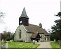
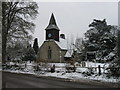

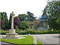
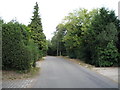
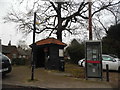
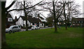
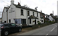
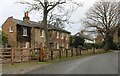
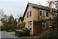
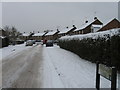
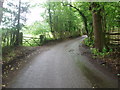
31 photos from this area
Area Information
Key information about the SG13 8NA including its size, population, and administrative classification.
- Area Type
- Postcode
- Area Size
- 5.0 hectares
- Population
- 2643
- Population Density
- 89 people/km²
House Prices in SG13 8NA
28
Properties
£360,650
Average Sold Price
£88,000
Lowest Price
£690,000
Highest Price
Showing 28 properties
| Address | Type | Beds | Baths | Last Sale Price | Last Sale Date | |
|---|---|---|---|---|---|---|
| 20 Goddards Close, Little Berkhamsted, SG13 8NA | Semi-detached | 4 | 2 | £690,000 | Aug 2025 | |
| 14 Goddards Close, Little Berkhamsted, SG13 8NA | Semi-detached | 3 | 1 | £530,000 | Jun 2021 | |
| 1 Goddards Close, Little Berkhamsted, SG13 8NA | Semi-detached | 4 | 1 | £540,000 | Feb 2019 | |
| 18 Goddards Close, Little Berkhamsted, SG13 8NA | house | - | - | £425,000 | Oct 2015 | |
| 15A Goddards Close, Little Berkhamsted, SG13 8NA | Semi-detached | 3 | - | £381,000 | Aug 2015 | |
| 16 Goddards Close, Little Berkhamsted, SG13 8NA | Semi-detached | 3 | 1 | £255,000 | Nov 2011 | |
| 13 Goddards Close, Little Berkhamsted, SG13 8NA | house | 4 | - | £410,000 | Aug 2011 | |
| 11 Goddards Close, Little Berkhamsted, SG13 8NA | house | - | - | £187,500 | Jul 2001 | |
| 6 Goddards Close, Little Berkhamsted, SG13 8NA | Semi-detached | - | - | £100,000 | Aug 1998 | |
| 3 Goddards Close, Little Berkhamsted, SG13 8NA | house | - | - | £88,000 | Sep 1996 |
Page 1 of 3
Energy Efficiency in SG13 8NA
Amenities
Schools
| Rank | School | Type | Entry gender | Ages |
|---|
Explore more schools in this area
Go to Schools tabDemographics
Household Size
Two person
most common
Accommodation Type
Houses
most common
Tenure
77
majority
Ethnic Group
White
most common
Religion
N/A
most common
Household Composition
N/A
most common
Age
47
median
Adults (30-64 years)
most common
Household Deprivation
N/A
with no deprivation
NS-SEC
47
in Lower managerial occupations
Explore more demographic insights in this area
Go to Demographics tabPlanning
Planning Constraints
- Flood RiskPremium
- Ramsar Wetland SitesPremium
- Area of Outstanding Natural BeautyPremium
- Protected Nature ReservePremium
- Protected WoodlandPremium