Area Overview for SG13 8FG
Photos of SG13 8FG

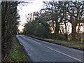
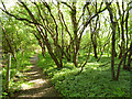
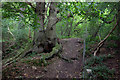

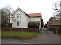
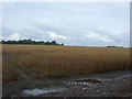
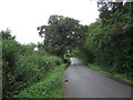
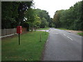
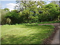
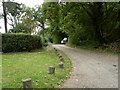
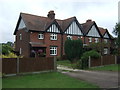
14 photos from this area
Area Information
Key information about the SG13 8FG including its size, population, and administrative classification.
- Area Type
- Postcode
- Area Size
- 24.1 hectares
- Population
- 1878
- Population Density
- 109 people/km²
House Prices in SG13 8FG
25
Properties
£622,972
Average Sold Price
£295,000
Lowest Price
£1,150,000
Highest Price
Showing 25 properties
| Address | Type | Beds | Baths | Last Sale Price | Last Sale Date | |
|---|---|---|---|---|---|---|
| 9, Clementsbury, Brickendon Lane, Brickendon, SG13 8FG | Terraced | 2 | 1 | £550,000 | Oct 2024 | |
| 4, Clementsbury, Brickendon Lane, Brickendon, SG13 8FG | Terraced | 4 | 2 | £1,150,000 | Oct 2022 | |
| 16, Clementsbury, Brickendon Lane, Brickendon, SG13 8FG | Terraced | 2 | 1 | £575,000 | Mar 2022 | |
| 6, Clementsbury, Brickendon Lane, Brickendon, SG13 8FG | Terraced | 3 | 1 | £720,000 | Mar 2021 | |
| 11, Clementsbury, Brickendon Lane, Brickendon, SG13 8FG | Semi-detached | 2 | 2 | £501,000 | Nov 2019 | |
| 7, Clementsbury, Brickendon Lane, Brickendon, SG13 8FG | Terraced | 4 | 3 | £899,995 | May 2019 | |
| 8, Clementsbury, Brickendon Lane, Brickendon, SG13 8FG | Terraced | 2 | 1 | £525,000 | Jan 2018 | |
| 21, Clementsbury, Brickendon Lane, Brickendon, SG13 8FG | Terraced | 3 | 2 | £730,000 | Dec 2017 | |
| 10, Clementsbury, Brickendon Lane, Brickendon, SG13 8FG | Semi-detached | 3 | 2 | £707,000 | Sep 2016 | |
| 17, Clementsbury, Brickendon Lane, Brickendon, SG13 8FG | Semi-detached | 5 | 3 | £850,000 | Oct 2015 |
Page 1 of 3
Energy Efficiency in SG13 8FG
Amenities
Schools
| Rank | School | Type | Entry gender | Ages |
|---|
Explore more schools in this area
Go to Schools tabDemographics
Household Size
Two person
most common
Accommodation Type
Houses
most common
Tenure
67
majority
Ethnic Group
White
most common
Religion
N/A
most common
Household Composition
N/A
most common
Age
22
median
Adults (30-64 years)
most common
Household Deprivation
N/A
with no deprivation
NS-SEC
40
in Lower managerial occupations
Explore more demographic insights in this area
Go to Demographics tabPlanning
Planning Constraints
- Flood RiskPremium
- Ramsar Wetland SitesPremium
- Area of Outstanding Natural BeautyPremium
- Protected Nature ReservePremium
- Protected WoodlandPremium