Area Overview for SG13 7RZ
Photos of SG13 7RZ
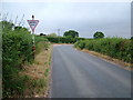
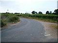
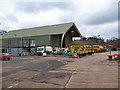

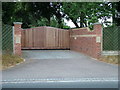
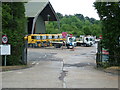
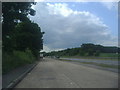
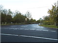
24 photos from this area
Area Information
Key information about the SG13 7RZ including its size, population, and administrative classification.
- Area Type
- Postcode
- Area Size
- 39.9 hectares
- Population
- 1665
- Population Density
- 641 people/km²
House Prices in SG13 7RZ
20
Properties
£541,167
Average Sold Price
£292,000
Lowest Price
£900,000
Highest Price
Showing 20 properties
| Address | Type | Beds | Baths | Last Sale Price | Last Sale Date | |
|---|---|---|---|---|---|---|
| 42 Downfield Road, Hertford Heath, SG13 7RZ | Detached | 5 | 2 | £900,000 | Apr 2021 | |
| 40 Downfield Road, Hertford Heath, SG13 7RZ | Detached | 4 | 4 | £499,999 | Jun 2012 | |
| 30 Downfield Road, Hertford Heath, SG13 7RZ | Detached | - | - | £675,000 | Jul 2008 | |
| 44 Downfield Road, Hertford Heath, SG13 7RZ | Detached | - | - | £560,000 | Mar 2004 | |
| 32 Downfield Road, Hertford Heath, SG13 7RZ | Detached | - | - | £320,000 | Jul 2002 | |
| 38 Downfield Road, Hertford Heath, SG13 7RZ | Detached | - | - | £292,000 | Jun 2000 | |
| 27 Downfield Road, Hertford Heath, SG13 7RZ | Detached | 4 | 3 | - | - | |
| The Log Cabin, 46 Downfield Road, Hertford Heath, SG13 7RZ | Mobile Home | - | - | - | - | |
| Dawlicious Milk And Icecream, Amwell Place Farm, 39 Downfield Road, Hertford Heath, SG13 7RZ | shop | - | - | - | - | |
| 33B Downfield Road, Hertford Heath, SG13 7RZ | Terraced | - | - | - | - |
Page 1 of 2
Energy Efficiency in SG13 7RZ
Amenities
Schools
| Rank | School | Type | Entry gender | Ages |
|---|
Explore more schools in this area
Go to Schools tabDemographics
Household Size
Family (3-5 people)
most common
Accommodation Type
Houses
most common
Tenure
71
majority
Ethnic Group
White
most common
Religion
N/A
most common
Household Composition
N/A
most common
Age
47
median
Adults (30-64 years)
most common
Household Deprivation
N/A
with no deprivation
NS-SEC
37
in Lower managerial occupations
Explore more demographic insights in this area
Go to Demographics tabPlanning
Planning Constraints
- Flood RiskPremium
- Ramsar Wetland SitesPremium
- Area of Outstanding Natural BeautyPremium
- Protected Nature ReservePremium
- Protected WoodlandPremium