Area Overview for SG12 9TJ
Photos of SG12 9TJ
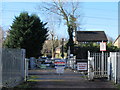
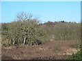
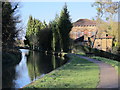
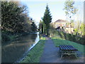
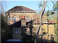
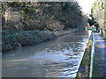
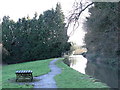
46 photos from this area
Area Information
Key information about the SG12 9TJ including its size, population, and administrative classification.
- Area Type
- Postcode
- Area Size
- 2.8 hectares
- Population
- 1284
- Population Density
- 501 people/km²
House Prices in SG12 9TJ
16
Properties
£449,636
Average Sold Price
£147,500
Lowest Price
£1,119,000
Highest Price
Showing 16 properties
| Address | Type | Beds | Baths | Last Sale Price | Last Sale Date | |
|---|---|---|---|---|---|---|
| 5 Bridle Way, Great Amwell, SG12 9TJ | Detached | 5 | 3 | £1,119,000 | Mar 2023 | |
| 7 Bridle Way, Great Amwell, SG12 9TJ | house | - | - | £525,000 | Jan 2016 | |
| 15 Bridle Way, Great Amwell, SG12 9TJ | Detached | 5 | 2 | £650,000 | Nov 2015 | |
| 8 Bridle Way, Great Amwell, SG12 9TJ | Detached | 4 | 1 | £440,000 | Sep 2013 | |
| 16 Bridle Way, Great Amwell, SG12 9TJ | Detached | 4 | 2 | £385,000 | Apr 2010 | |
| 17 Bridle Way, Great Amwell, SG12 9TJ | house | - | - | £499,995 | Jun 2007 | |
| 1 Bridle Way, Great Amwell, SG12 9TJ | Detached | - | - | £415,000 | Mar 2007 | |
| 12 Bridle Way, Great Amwell, SG12 9TJ | Detached | 3 | 2 | £305,000 | Jan 2003 | |
| 4 Bridle Way, Great Amwell, SG12 9TJ | Detached | - | - | £242,500 | May 2002 | |
| 2 Bridle Way, Great Amwell, SG12 9TJ | Detached | - | - | £217,000 | Nov 1997 |
Page 1 of 2
Energy Efficiency in SG12 9TJ
Amenities
Schools
| Rank | School | Type | Entry gender | Ages |
|---|
Explore more schools in this area
Go to Schools tabDemographics
Household Size
Two person
most common
Accommodation Type
Houses
most common
Tenure
83
majority
Ethnic Group
White
most common
Religion
N/A
most common
Household Composition
N/A
most common
Age
47
median
Adults (30-64 years)
most common
Household Deprivation
N/A
with no deprivation
NS-SEC
51
in Lower managerial occupations
Explore more demographic insights in this area
Go to Demographics tabPlanning
Planning Constraints
- Flood RiskPremium
- Ramsar Wetland SitesPremium
- Area of Outstanding Natural BeautyPremium
- Protected Nature ReservePremium
- Protected WoodlandPremium