Area Overview for SG12 9NE
Photos of SG12 9NE
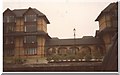
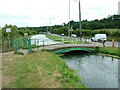
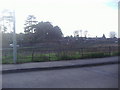
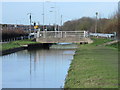
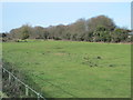
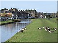
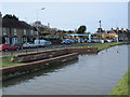
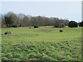
55 photos from this area
Area Information
Key information about the SG12 9NE including its size, population, and administrative classification.
- Area Type
- Postcode
- Area Size
- 6986 m²
- Population
- 1638
- Population Density
- 2675 people/km²
House Prices in SG12 9NE
60
Properties
£216,999
Average Sold Price
£150,000
Lowest Price
£260,000
Highest Price
Showing 60 properties
| Address | Type | Beds | Baths | Last Sale Price | Last Sale Date | |
|---|---|---|---|---|---|---|
| 121 Grange Gardens, Ware, SG12 9NE | Maisonette | 1 | 1 | £208,000 | Jun 2023 | |
| 105 Grange Gardens, Ware, SG12 9NE | Maisonette | 1 | 1 | £260,000 | Aug 2021 | |
| 107 Grange Gardens, Ware, SG12 9NE | Maisonette | - | - | £249,995 | Jun 2017 | |
| 113 Grange Gardens, Ware, SG12 9NE | Flat | 1 | 1 | £150,000 | Dec 2010 | |
| 85 Grange Gardens, Ware, SG12 9NE | Flat | - | - | - | - | |
| 119 Grange Gardens, Ware, SG12 9NE | Flat | - | - | - | - | |
| 115 Grange Gardens, Ware, SG12 9NE | Flat | - | - | - | - | |
| 23 Grange Gardens, Ware, SG12 9NE | Flat | - | - | - | - | |
| 33 Grange Gardens, Ware, SG12 9NE | Flat | - | - | - | - | |
| 9 Grange Gardens, Ware, SG12 9NE | Maisonette | 1 | 1 | - | - |
Page 1 of 6
Energy Efficiency in SG12 9NE
Amenities
Schools
| Rank | School | Type | Entry gender | Ages |
|---|
Explore more schools in this area
Go to Schools tabDemographics
Household Size
One person
most common
Accommodation Type
Flats
most common
Tenure
55
majority
Ethnic Group
White
most common
Religion
N/A
most common
Household Composition
N/A
most common
Age
47
median
Adults (30-64 years)
most common
Household Deprivation
N/A
with no deprivation
NS-SEC
47
in Lower managerial occupations
Explore more demographic insights in this area
Go to Demographics tabPlanning
Planning Constraints
- Flood RiskPremium
- Ramsar Wetland SitesPremium
- Area of Outstanding Natural BeautyPremium
- Protected Nature ReservePremium
- Protected WoodlandPremium