Area Overview for SG12 8NN
Photos of SG12 8NN
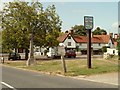
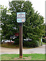
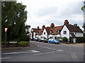
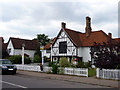
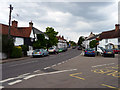
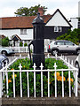
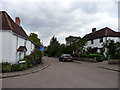
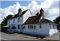
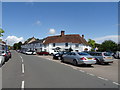
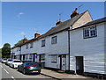
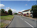

30 photos from this area
Area Information
Key information about the SG12 8NN including its size, population, and administrative classification.
- Area Type
- Postcode
- Area Size
- 62.8 hectares
- Population
- 1361
- Population Density
- 85 people/km²
House Prices in SG12 8NN
31
Properties
£538,844
Average Sold Price
£320
Lowest Price
£900,000
Highest Price
Showing 31 properties
| Address | Type | Beds | Baths | Last Sale Price | Last Sale Date | |
|---|---|---|---|---|---|---|
| 29 Widford Road, Hunsdon, SG12 8NN | Bungalow | 3 | 1 | £711,000 | Jun 2025 | |
| 41 Widford Road, Hunsdon, SG12 8NN | Detached | 5 | 4 | £860,000 | Sep 2022 | |
| 19 Widford Road, Hunsdon, SG12 8NN | Bungalow | 2 | - | £500,000 | Apr 2021 | |
| 21 Widford Road, Hunsdon, SG12 8NN | Bungalow | 4 | 2 | £590,000 | Oct 2020 | |
| 9 Widford Road, Hunsdon, SG12 8NN | Bungalow | 3 | 2 | £615,000 | Jan 2019 | |
| 7A Widford Road, Hunsdon, SG12 8NN | Detached | 4 | 3 | £795,000 | Aug 2018 | |
| 31 Widford Road, Hunsdon, SG12 8NN | Semi-detached | 3 | 1 | £465,000 | Jun 2018 | |
| 37 Widford Road, Hunsdon, SG12 8NN | house | - | - | £320 | Apr 2018 | |
| 33 Widford Road, Hunsdon, SG12 8NN | Semi-detached | 4 | 2 | £430,000 | Dec 2016 | |
| Berkeley House, 7 Widford Road, Hunsdon, SG12 8NN | Detached | 5 | 3 | £900,000 | Feb 2016 |
Page 1 of 4
Energy Efficiency in SG12 8NN
Amenities
Schools
| Rank | School | Type | Entry gender | Ages |
|---|
Explore more schools in this area
Go to Schools tabDemographics
Household Size
Two person
most common
Accommodation Type
Houses
most common
Tenure
65
majority
Ethnic Group
White
most common
Religion
N/A
most common
Household Composition
N/A
most common
Age
47
median
Adults (30-64 years)
most common
Household Deprivation
N/A
with no deprivation
NS-SEC
39
in Lower managerial occupations
Explore more demographic insights in this area
Go to Demographics tabPlanning
Planning Constraints
- Flood RiskPremium
- Ramsar Wetland SitesPremium
- Area of Outstanding Natural BeautyPremium
- Protected Nature ReservePremium
- Protected WoodlandPremium