Area Overview for SG12 8AQ
Photos of SG12 8AQ
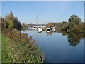
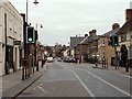

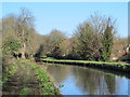
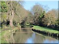
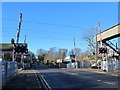
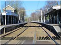
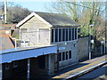
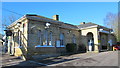
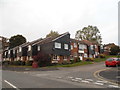
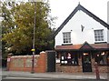
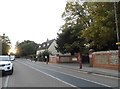
43 photos from this area
Area Information
Key information about the SG12 8AQ including its size, population, and administrative classification.
- Area Type
- Postcode
- Area Size
- 2614 m²
- Population
- 1660
- Population Density
- 2773 people/km²
House Prices in SG12 8AQ
14
Properties
£251,950
Average Sold Price
£115,000
Lowest Price
£365,000
Highest Price
Showing 14 properties
| Address | Type | Beds | Baths | Last Sale Price | Last Sale Date | |
|---|---|---|---|---|---|---|
| 76 High Street, Stanstead Abbotts, SG12 8AQ | Cottage | 2 | 1 | £365,000 | May 2023 | |
| 66 High Street, Stanstead Abbotts, SG12 8AQ | Maisonette | 2 | 1 | £293,000 | Apr 2022 | |
| 72 High Street, Stanstead Abbotts, SG12 8AQ | Maisonette | 2 | 1 | £280,000 | Feb 2022 | |
| 74 High Street, Stanstead Abbotts, SG12 8AQ | Maisonette | 1 | 1 | £262,500 | Dec 2021 | |
| 78 High Street, Stanstead Abbotts, SG12 8AQ | Terraced | 2 | - | £324,000 | Jan 2021 | |
| 62A High Street, Stanstead Abbotts, SG12 8AQ | house | 1 | 1 | £300,000 | Apr 2015 | |
| 86 High Street, Stanstead Abbotts, SG12 8AQ | Terraced | 2 | - | £250,000 | Apr 2015 | |
| 84 High Street, Stanstead Abbotts, SG12 8AQ | Terraced | - | - | £205,000 | May 2006 | |
| 88 High Street, Stanstead Abbotts, SG12 8AQ | Terraced | 2 | 1 | £125,000 | May 2001 | |
| 64 High Street, Stanstead Abbotts, SG12 8AQ | Detached | - | - | £115,000 | Jan 1995 |
Page 1 of 2
Energy Efficiency in SG12 8AQ
Amenities
Schools
| Rank | School | Type | Entry gender | Ages |
|---|
Explore more schools in this area
Go to Schools tabDemographics
Household Size
Two person
most common
Accommodation Type
Houses
most common
Tenure
78
majority
Ethnic Group
White
most common
Religion
N/A
most common
Household Composition
N/A
most common
Age
47
median
Adults (30-64 years)
most common
Household Deprivation
N/A
with no deprivation
NS-SEC
44
in Lower managerial occupations
Explore more demographic insights in this area
Go to Demographics tabPlanning
Planning Constraints
- Flood RiskPremium
- Ramsar Wetland SitesPremium
- Area of Outstanding Natural BeautyPremium
- Protected Nature ReservePremium
- Protected WoodlandPremium