Area Overview for SG12 0LH
Photos of SG12 0LH
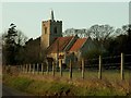
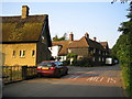
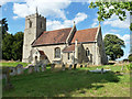
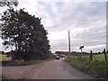
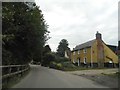
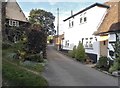
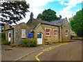
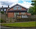
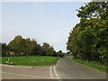
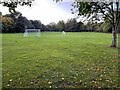
28 photos from this area
Area Information
Key information about the SG12 0LH including its size, population, and administrative classification.
- Area Type
- Postcode
- Area Size
- 4490 m²
- Population
- 1326
- Population Density
- 59 people/km²
House Prices in SG12 0LH
9
Properties
£337,427
Average Sold Price
£250,000
Lowest Price
£505,000
Highest Price
Showing 9 properties
| Address | Type | Beds | Baths | Last Sale Price | Last Sale Date | |
|---|---|---|---|---|---|---|
| The Fosse, Munden Road, Dane End, SG12 0LH | Detached | 2 | 2 | £505,000 | Aug 2024 | |
| Thatched Cottage, Munden Road, Dane End, SG12 0LH | Cottage | 3 | 1 | £420,000 | Jun 2016 | |
| The Old Mission Hall, Munden Road, Dane End, SG12 0LH | Cottage | 3 | 1 | £269,995 | Aug 2014 | |
| Dane Cottage, Munden Road, Dane End, SG12 0LH | Semi-detached | 2 | 1 | £250,000 | Aug 2014 | |
| Hazelbury, Munden Road, Dane End, SG12 0LH | Cottage | 2 | 1 | £305,000 | Apr 2014 | |
| Corner Cottage, Munden Road, Dane End, SG12 0LH | house | 3 | - | £279,995 | Apr 2014 | |
| East View, Munden Road, Dane End, SG12 0LH | Semi-detached | - | - | £332,000 | Jan 2004 | |
| Avalon, Munden Road, Dane End, SG12 0LH | Bungalow | - | - | - | - | |
| Walnut Tree Cottage, Munden Road, Dane End, SG12 0LH | Detached | - | - | - | - |
Energy Efficiency in SG12 0LH
Amenities
Schools
| Rank | School | Type | Entry gender | Ages |
|---|
Explore more schools in this area
Go to Schools tabDemographics
Household Size
Family (3-5 people)
most common
Accommodation Type
Houses
most common
Tenure
76
majority
Ethnic Group
White
most common
Religion
N/A
most common
Household Composition
N/A
most common
Age
47
median
Adults (30-64 years)
most common
Household Deprivation
N/A
with no deprivation
NS-SEC
40
in Lower managerial occupations
Explore more demographic insights in this area
Go to Demographics tabPlanning
Planning Constraints
- Flood RiskPremium
- Ramsar Wetland SitesPremium
- Area of Outstanding Natural BeautyPremium
- Protected Nature ReservePremium
- Protected WoodlandPremium